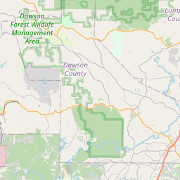
USGS NWIS Stream/River/Lake Site 02190570: N FK BROAD R PILOT STDY LOWER LIMIT NR MARTIN, GA
Map
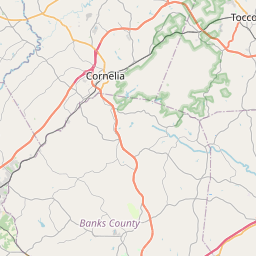

Leaflet | <a href="https://www.openstreetmap.org/copyright">© OpenStreetMap contributors</a>
Item
| Property | Value |
|---|---|
| id | 1063107 |
| cluster | None |
| dasqkm_diff | -2.20000000000002 |
| description | USGS NWIS Stream/River/Lake Site 02190570: N FK BROAD R PILOT STDY LOWER LIMIT NR MARTIN, GA |
| fid | 54950 |
| gage_totdasqkm | 153.8 |
| mainstem_uri | https://geoconnex.us/ref/mainstems/2455289 |
| name | N FK BROAD R PILOT STDY LOWER LIMIT NR MARTIN, GA |
| nhdpv2_comid | 6277435.0 |
| nhdpv2_link_source | https://github.com/internetofwater/ref_gages |
| nhdpv2_offset_m | 42.8986772287795 |
| nhdpv2_reach_measure | 62.3388 |
| nhdpv2_reachcode | 03060104000124 |
| nhdpv2_totdasqkm | 151.6 |
| nws_url | None |
| provider | https://waterdata.usgs.gov |
| provider_id | 02190570 |
| subjectof | https://waterdata.usgs.gov/monitoring-location/02190570 |
| uri | https://geoconnex.us/ref/gages/1063107 |