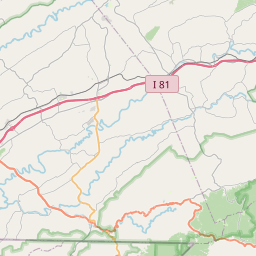
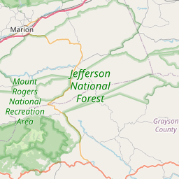
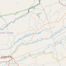
USGS NWIS Stream/River/Lake Site 03473725: M F HOLSTON RIVER AT RT 693 NEAR MARION, VA
Map

Leaflet | <a href="https://www.openstreetmap.org/copyright">© OpenStreetMap contributors</a>
Item
| Property | Value |
|---|---|
| id | 1063186 |
| cluster | None |
| dasqkm_diff | 0.5 |
| description | USGS NWIS Stream/River/Lake Site 03473725: M F HOLSTON RIVER AT RT 693 NEAR MARION, VA |
| fid | 55018 |
| gage_totdasqkm | 154.9 |
| mainstem_uri | https://geoconnex.us/ref/mainstems/383345 |
| name | M F HOLSTON RIVER AT RT 693 NEAR MARION, VA |
| nhdpv2_comid | 19750871.0 |
| nhdpv2_link_source | https://github.com/internetofwater/ref_gages |
| nhdpv2_offset_m | 46.2594641969213 |
| nhdpv2_reach_measure | 28.5632 |
| nhdpv2_reachcode | 06010102000197 |
| nhdpv2_totdasqkm | 155.4 |
| nws_url | None |
| provider | https://waterdata.usgs.gov |
| provider_id | 03473725 |
| subjectof | https://waterdata.usgs.gov/monitoring-location/03473725 |
| uri | https://geoconnex.us/ref/gages/1063186 |