USGS NWIS Stream/River/Lake Site 01426500: WEST BRANCH DELAWARE RIVER AT HALE EDDY NY
Map

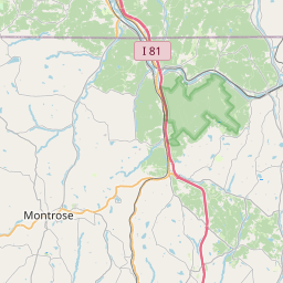
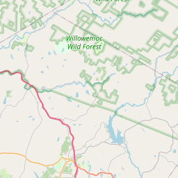
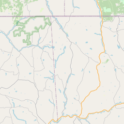

Leaflet | <a href="https://www.openstreetmap.org/copyright">© OpenStreetMap contributors</a>
Item
| Property | Value |
|---|---|
| id | 1063262 |
| cluster | None |
| dasqkm_diff | 6.70000000000005 |
| description | USGS NWIS Stream/River/Lake Site 01426500: WEST BRANCH DELAWARE RIVER AT HALE EDDY NY |
| fid | 55080 |
| gage_totdasqkm | 1541.0 |
| mainstem_uri | https://geoconnex.us/ref/mainstems/2122629 |
| name | WEST BRANCH DELAWARE RIVER AT HALE EDDY NY |
| nhdpv2_comid | 2614210.0 |
| nhdpv2_link_source | https://github.com/internetofwater/ref_gages |
| nhdpv2_offset_m | 101.10527665403 |
| nhdpv2_reach_measure | 75.0731 |
| nhdpv2_reachcode | 02040101000975 |
| nhdpv2_totdasqkm | 1547.7 |
| nws_url | https://water.noaa.gov/gauges/HLEN6 |
| provider | https://waterdata.usgs.gov |
| provider_id | 01426500 |
| subjectof | https://waterdata.usgs.gov/monitoring-location/01426500 |
| uri | https://geoconnex.us/ref/gages/1063262 |