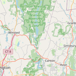
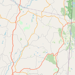
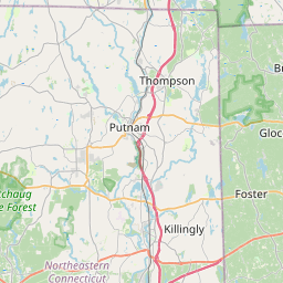
USGS NWIS Stream/River/Lake Site 01189500: SALMON BK NEAR GRANBY, CT.
Map

Leaflet | <a href="https://www.openstreetmap.org/copyright">© OpenStreetMap contributors</a>
Item
| Property | Value |
|---|---|
| id | 1067345 |
| cluster | None |
| dasqkm_diff | -1.5 |
| description | USGS NWIS Stream/River/Lake Site 01189500: SALMON BK NEAR GRANBY, CT. |
| fid | 190821 |
| gage_totdasqkm | 174.6 |
| mainstem_uri | https://geoconnex.us/ref/mainstems/2279366 |
| name | SALMON BK NEAR GRANBY, CT. |
| nhdpv2_comid | 6109099.0 |
| nhdpv2_link_source | https://www.epa.gov/waterdata/nhdplus-national-hydrography-dataset-plus |
| nhdpv2_offset_m | 19.073254575129 |
| nhdpv2_reach_measure | 8.1006 |
| nhdpv2_reachcode | 01080207000425 |
| nhdpv2_totdasqkm | 173.1 |
| nws_url | None |
| provider | https://waterdata.usgs.gov |
| provider_id | 01189500 |
| subjectof | https://waterdata.usgs.gov/monitoring-location/01189500 |
| uri | https://geoconnex.us/ref/gages/1067345 |