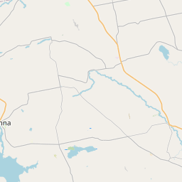
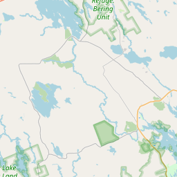
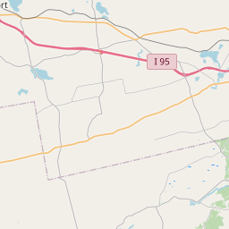
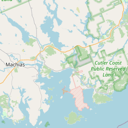
USGS NWIS Stream/River/Lake Site 01022290: Narraguagus River near Beddington ME
Map
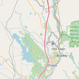

Leaflet | <a href="https://www.openstreetmap.org/copyright">© OpenStreetMap contributors</a>
Item
| Property | Value |
|---|---|
| id | 1067397 |
| cluster | https://geoconnex.us/ref/gages/1124547 |
| dasqkm_diff | 255.4 |
| description | USGS NWIS Stream/River/Lake Site 01022290: Narraguagus River near Beddington ME |
| fid | 58672 |
| gage_totdasqkm | 175.6 |
| mainstem_uri | https://geoconnex.us/ref/mainstems/2254463 |
| name | Narraguagus River near Beddington ME |
| nhdpv2_comid | 2679496.0 |
| nhdpv2_link_source | https://github.com/internetofwater/ref_gages |
| nhdpv2_offset_m | 161.649566761954 |
| nhdpv2_reach_measure | 17.7141 |
| nhdpv2_reachcode | 01050002000335 |
| nhdpv2_totdasqkm | 431.0 |
| nws_url | None |
| provider | https://waterdata.usgs.gov |
| provider_id | 01022290 |
| subjectof | https://waterdata.usgs.gov/monitoring-location/01022290 |
| uri | https://geoconnex.us/ref/gages/1067397 |