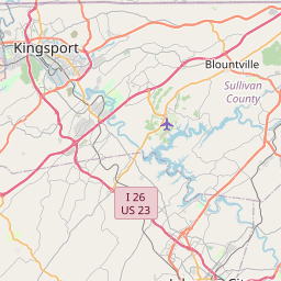
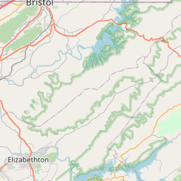
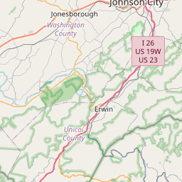
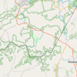
USGS NWIS Stream/River/Lake Site 03483960: WATAUGA RIVER NEAR WATAUGA POINT, TN
Map
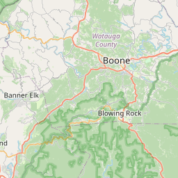

Leaflet | <a href="https://www.openstreetmap.org/copyright">© OpenStreetMap contributors</a>
Item
| Property | Value |
|---|---|
| id | 1071152 |
| cluster | None |
| dasqkm_diff | 7.0 |
| description | USGS NWIS Stream/River/Lake Site 03483960: WATAUGA RIVER NEAR WATAUGA POINT, TN |
| fid | 61921 |
| gage_totdasqkm | 1942.5 |
| mainstem_uri | https://geoconnex.us/ref/mainstems/359884 |
| name | WATAUGA RIVER NEAR WATAUGA POINT, TN |
| nhdpv2_comid | 19745296.0 |
| nhdpv2_link_source | https://github.com/internetofwater/ref_gages |
| nhdpv2_offset_m | 17.2149828530177 |
| nhdpv2_reach_measure | 85.8524 |
| nhdpv2_reachcode | 06010103000016 |
| nhdpv2_totdasqkm | 1949.5 |
| nws_url | None |
| provider | https://waterdata.usgs.gov |
| provider_id | 03483960 |
| subjectof | https://waterdata.usgs.gov/monitoring-location/03483960 |
| uri | https://geoconnex.us/ref/gages/1071152 |