USGS NWIS Stream/River/Lake Site 371529107523202: ANIMAS RIVER BL TAILINGS PILE BL DURANGO, CO
Map

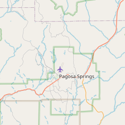

Leaflet | <a href="https://www.openstreetmap.org/copyright">© OpenStreetMap contributors</a>
Item
| Property | Value |
|---|---|
| id | 1071212 |
| cluster | None |
| dasqkm_diff | -7.0 |
| description | USGS NWIS Stream/River/Lake Site 371529107523202: ANIMAS RIVER BL TAILINGS PILE BL DURANGO, CO |
| fid | 61971 |
| gage_totdasqkm | 1963.2 |
| mainstem_uri | https://geoconnex.us/ref/mainstems/35394 |
| name | ANIMAS RIVER BL TAILINGS PILE BL DURANGO, CO |
| nhdpv2_comid | 17015233.0 |
| nhdpv2_link_source | https://github.com/internetofwater/ref_gages |
| nhdpv2_offset_m | 101.056709558541 |
| nhdpv2_reach_measure | 91.7217 |
| nhdpv2_reachcode | 14080104000085 |
| nhdpv2_totdasqkm | 1956.2 |
| nws_url | None |
| provider | https://waterdata.usgs.gov |
| provider_id | 371529107523202 |
| subjectof | https://waterdata.usgs.gov/monitoring-location/371529107523202 |
| uri | https://geoconnex.us/ref/gages/1071212 |