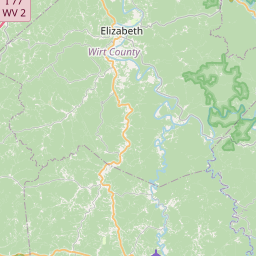
USGS NWIS Stream/River/Lake Site 03154500: REEDY CREEK NEAR REEDY, WV
Map


Leaflet | <a href="https://www.openstreetmap.org/copyright">© OpenStreetMap contributors</a>
Item
| Property | Value |
|---|---|
| id | 1071887 |
| cluster | https://geoconnex.us/ref/gages/1071888 |
| dasqkm_diff | 0.0999999999999943 |
| description | USGS NWIS Stream/River/Lake Site 03154500: REEDY CREEK NEAR REEDY, WV |
| fid | 62521 |
| gage_totdasqkm | 206.4 |
| mainstem_uri | https://geoconnex.us/ref/mainstems/404915 |
| name | REEDY CREEK NEAR REEDY, WV |
| nhdpv2_comid | 19419543.0 |
| nhdpv2_link_source | https://doi.org/10.5066/P9J5CK2Y |
| nhdpv2_offset_m | 1.44398180247844 |
| nhdpv2_reach_measure | 74.114 |
| nhdpv2_reachcode | 05030203000076 |
| nhdpv2_totdasqkm | 206.5 |
| nws_url | None |
| provider | https://waterdata.usgs.gov |
| provider_id | 03154500 |
| subjectof | https://waterdata.usgs.gov/monitoring-location/03154500 |
| uri | https://geoconnex.us/ref/gages/1071887 |