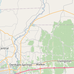
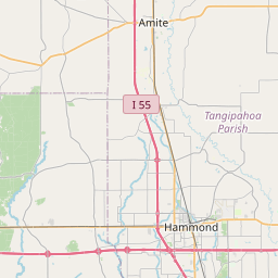
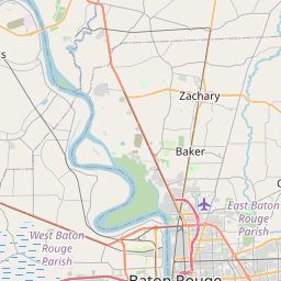
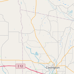
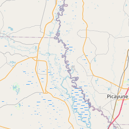
USGS NWIS Stream/River/Lake Site 07376500: Natalbany River at Baptist, LA
Map

Leaflet | <a href="https://www.openstreetmap.org/copyright">© OpenStreetMap contributors</a>
Item
| Property | Value |
|---|---|
| id | 1071894 |
| cluster | None |
| dasqkm_diff | -1.70000000000002 |
| description | USGS NWIS Stream/River/Lake Site 07376500: Natalbany River at Baptist, LA |
| fid | 62528 |
| gage_totdasqkm | 205.9 |
| mainstem_uri | https://geoconnex.us/ref/mainstems/2219526 |
| name | Natalbany River at Baptist, LA |
| nhdpv2_comid | 20090348.0 |
| nhdpv2_link_source | https://doi.org/10.5066/P9J5CK2Y |
| nhdpv2_offset_m | 2.09570437729308 |
| nhdpv2_reach_measure | 73.918 |
| nhdpv2_reachcode | 08070203000036 |
| nhdpv2_totdasqkm | 204.2 |
| nws_url | https://water.noaa.gov/gauges/NRBL1 |
| provider | https://waterdata.usgs.gov |
| provider_id | 07376500 |
| subjectof | https://waterdata.usgs.gov/monitoring-location/07376500 |
| uri | https://geoconnex.us/ref/gages/1071894 |