USGS NWIS Stream/River/Lake Site 08390500: RIO HONDO AT DIAMOND A RANCH NR ROSWELL, NM
Map
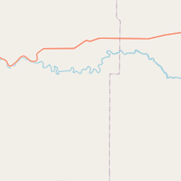
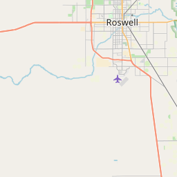

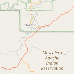

Leaflet | <a href="https://www.openstreetmap.org/copyright">© OpenStreetMap contributors</a>
Item
| Property | Value |
|---|---|
| id | 1077702 |
| cluster | None |
| dasqkm_diff | 4.80000000000018 |
| description | USGS NWIS Stream/River/Lake Site 08390500: RIO HONDO AT DIAMOND A RANCH NR ROSWELL, NM |
| fid | 67510 |
| gage_totdasqkm | 2452.7 |
| mainstem_uri | https://geoconnex.us/ref/mainstems/1608988 |
| name | RIO HONDO AT DIAMOND A RANCH NR ROSWELL, NM |
| nhdpv2_comid | 20774462.0 |
| nhdpv2_link_source | https://doi.org/10.5066/P9J5CK2Y |
| nhdpv2_offset_m | 2.57516687828101 |
| nhdpv2_reach_measure | 51.018 |
| nhdpv2_reachcode | 13060008000064 |
| nhdpv2_totdasqkm | 2457.5 |
| nws_url | https://water.noaa.gov/gauges/DARN5 |
| provider | https://waterdata.usgs.gov |
| provider_id | 08390500 |
| subjectof | https://waterdata.usgs.gov/monitoring-location/08390500 |
| uri | https://geoconnex.us/ref/gages/1077702 |