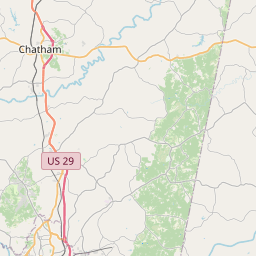
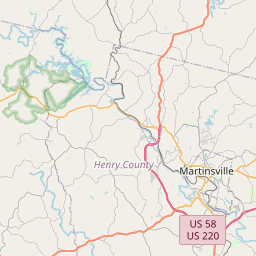
USGS NWIS Stream/River/Lake Site 02076770: SANDY CREEK AT RT 832 AT MEADVILLE, VA
Map

Leaflet | <a href="https://www.openstreetmap.org/copyright">© OpenStreetMap contributors</a>
Item
| Property | Value |
|---|---|
| id | 1078368 |
| cluster | None |
| dasqkm_diff | 0.300000000000011 |
| description | USGS NWIS Stream/River/Lake Site 02076770: SANDY CREEK AT RT 832 AT MEADVILLE, VA |
| fid | 57473 |
| gage_totdasqkm | 256.7 |
| mainstem_uri | https://geoconnex.us/ref/mainstems/2366293 |
| name | SANDY CREEK AT RT 832 AT MEADVILLE, VA |
| nhdpv2_comid | 8712137.0 |
| nhdpv2_link_source | https://github.com/internetofwater/ref_gages |
| nhdpv2_offset_m | 61.8113334382581 |
| nhdpv2_reach_measure | 32.8515 |
| nhdpv2_reachcode | 03010105000187 |
| nhdpv2_totdasqkm | 257.0 |
| provider | https://waterdata.usgs.gov |
| provider_id | 02076770 |
| subjectof | https://waterdata.usgs.gov/monitoring-location/02076770 |
| uri | https://geoconnex.us/ref/gages/1078368 |