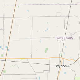
USGS NWIS Stream/River/Lake Site 351321090305301: 38435 LITTLE BLACKFISH WD PT
Map


Leaflet | <a href="https://www.openstreetmap.org/copyright">© OpenStreetMap contributors</a>
Item
| Property | Value |
|---|---|
| id | 1089549 |
| cluster | None |
| dasqkm_diff | None |
| description | USGS NWIS Stream/River/Lake Site 351321090305301: 38435 LITTLE BLACKFISH WD PT |
| fid | 79073 |
| gage_totdasqkm | None |
| mainstem_uri | None |
| name | 38435 LITTLE BLACKFISH WD PT |
| nhdpv2_comid | 3678614.0 |
| nhdpv2_link_source | https://github.com/internetofwater/ref_gages |
| nhdpv2_offset_m | 41.7112270715016 |
| nhdpv2_reach_measure | 96.9519 |
| nhdpv2_reachcode | 08020203005253 |
| nhdpv2_totdasqkm | 34.6 |
| nws_url | None |
| provider | https://waterdata.usgs.gov |
| provider_id | 351321090305301 |
| subjectof | https://waterdata.usgs.gov/monitoring-location/351321090305301 |
| uri | https://geoconnex.us/ref/gages/1089549 |