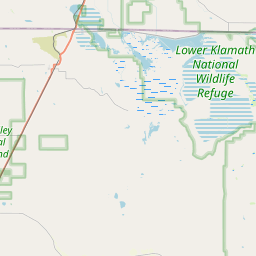
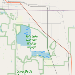
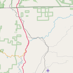
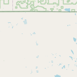
USGS NWIS Stream/River/Lake Site 415714121301401: LOST R AB TULE LK NR TULELAKE CA
Map


Leaflet | <a href="https://www.openstreetmap.org/copyright">© OpenStreetMap contributors</a>
Item
| Property | Value |
|---|---|
| id | 1095993 |
| cluster | None |
| dasqkm_diff | None |
| description | USGS NWIS Stream/River/Lake Site 415714121301401: LOST R AB TULE LK NR TULELAKE CA |
| fid | 74567 |
| gage_totdasqkm | None |
| mainstem_uri | None |
| name | LOST R AB TULE LK NR TULELAKE CA |
| nhdpv2_comid | 2555573.0 |
| nhdpv2_link_source | https://github.com/internetofwater/ref_gages |
| nhdpv2_offset_m | 58.0600130864424 |
| nhdpv2_reach_measure | 69.2433 |
| nhdpv2_reachcode | 18010204000371 |
| nhdpv2_totdasqkm | 253.4 |
| nws_url | None |
| provider | https://waterdata.usgs.gov |
| provider_id | 415714121301401 |
| subjectof | https://waterdata.usgs.gov/monitoring-location/415714121301401 |
| uri | https://geoconnex.us/ref/gages/1095993 |