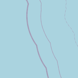
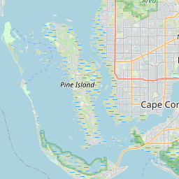
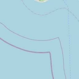
USGS NWIS Stream/River/Lake Site 262651082080100: 46S22E20 LS-524 SANIBEL RIVER, SANIBEL ISLAND
Map


Leaflet | <a href="https://www.openstreetmap.org/copyright">© OpenStreetMap contributors</a>
Item
| Property | Value |
|---|---|
| id | 1104914 |
| cluster | https://geoconnex.us/ref/gages/1104915,https://geoconnex.us/ref/gages/1104916 |
| dasqkm_diff | None |
| description | USGS NWIS Stream/River/Lake Site 262651082080100: 46S22E20 LS-524 SANIBEL RIVER, SANIBEL ISLAND |
| fid | 94071 |
| gage_totdasqkm | None |
| mainstem_uri | None |
| name | 46S22E20 LS-524 SANIBEL RIVER, SANIBEL ISLAND |
| nhdpv2_comid | None |
| nhdpv2_link_source | None |
| nhdpv2_offset_m | None |
| nhdpv2_reach_measure | None |
| nhdpv2_reachcode | None |
| nhdpv2_totdasqkm | None |
| nws_url | None |
| provider | https://waterdata.usgs.gov |
| provider_id | 262651082080100 |
| subjectof | https://waterdata.usgs.gov/monitoring-location/262651082080100 |
| uri | https://geoconnex.us/ref/gages/1104914 |