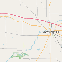
USGS NWIS Stream/River/Lake Site 400918086234601: MUD CREEK AT CR 400 E NR ELIZAVILLE, IN
Map


Leaflet | <a href="https://www.openstreetmap.org/copyright">© OpenStreetMap contributors</a>
Item
| Property | Value |
|---|---|
| id | 1117247 |
| cluster | None |
| dasqkm_diff | None |
| description | USGS NWIS Stream/River/Lake Site 400918086234601: MUD CREEK AT CR 400 E NR ELIZAVILLE, IN |
| fid | 106206 |
| gage_totdasqkm | None |
| mainstem_uri | https://geoconnex.us/ref/mainstems/529262 |
| name | MUD CREEK AT CR 400 E NR ELIZAVILLE, IN |
| nhdpv2_comid | 18482162.0 |
| nhdpv2_link_source | https://github.com/internetofwater/ref_gages |
| nhdpv2_offset_m | 25.01860253361 |
| nhdpv2_reach_measure | 54.233 |
| nhdpv2_reachcode | 05120110000161 |
| nhdpv2_totdasqkm | 57.8 |
| nws_url | None |
| provider | https://waterdata.usgs.gov |
| provider_id | 400918086234601 |
| subjectof | https://waterdata.usgs.gov/monitoring-location/400918086234601 |
| uri | https://geoconnex.us/ref/gages/1117247 |