USGS NWIS Stream/River/Lake Site 03277204: OHIO RIVER AT MARKLAND DAM (TURBINES) NR WARSAW,KY
Map
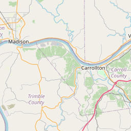
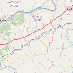
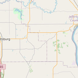
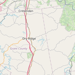

Leaflet | <a href="https://www.openstreetmap.org/copyright">© OpenStreetMap contributors</a>
Item
| Property | Value |
|---|---|
| id | 1120245 |
| cluster | None |
| dasqkm_diff | None |
| description | USGS NWIS Stream/River/Lake Site 03277204: OHIO RIVER AT MARKLAND DAM (TURBINES) NR WARSAW,KY |
| fid | 109191 |
| gage_totdasqkm | None |
| mainstem_uri | https://geoconnex.us/ref/mainstems/314849 |
| name | OHIO RIVER AT MARKLAND DAM (TURBINES) NR WARSAW,KY |
| nhdpv2_comid | 3407549.0 |
| nhdpv2_link_source | https://github.com/internetofwater/ref_gages |
| nhdpv2_offset_m | 176.405370600588 |
| nhdpv2_reach_measure | 23.9691 |
| nhdpv2_reachcode | 05090203000884 |
| nhdpv2_totdasqkm | 214897.5 |
| nws_url | None |
| provider | https://waterdata.usgs.gov |
| provider_id | 03277204 |
| subjectof | https://waterdata.usgs.gov/monitoring-location/03277204 |
| uri | https://geoconnex.us/ref/gages/1120245 |