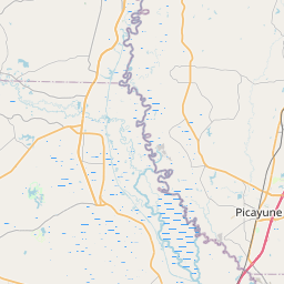
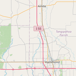
USGS NWIS Stream/River/Lake Site 02492111: WILSON SLOUGH NEAR WALKIAH BLUFF, MS
Map

Leaflet | <a href="https://www.openstreetmap.org/copyright">© OpenStreetMap contributors</a>
Item
| Property | Value |
|---|---|
| id | 1121084 |
| cluster | None |
| dasqkm_diff | None |
| description | USGS NWIS Stream/River/Lake Site 02492111: WILSON SLOUGH NEAR WALKIAH BLUFF, MS |
| fid | 193188 |
| gage_totdasqkm | None |
| mainstem_uri | None |
| name | WILSON SLOUGH NEAR WALKIAH BLUFF, MS |
| nhdpv2_comid | 933180299.0 |
| nhdpv2_link_source | https://www.epa.gov/waterdata/nhdplus-national-hydrography-dataset-plus |
| nhdpv2_offset_m | 166.204573580788 |
| nhdpv2_reach_measure | 89.3312 |
| nhdpv2_reachcode | 03180004001278 |
| nhdpv2_totdasqkm | 17423.8 |
| nws_url | None |
| provider | https://waterdata.usgs.gov |
| provider_id | 02492111 |
| subjectof | https://waterdata.usgs.gov/monitoring-location/02492111 |
| uri | https://geoconnex.us/ref/gages/1121084 |