USGS NWIS Stream/River/Lake Site 02492648: Gum Bayou at Hwy 11 near Slidell, LA
Map
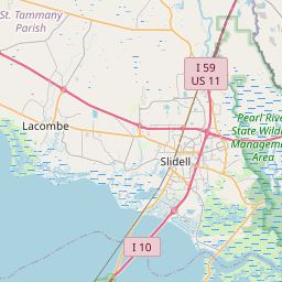

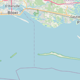

Leaflet | <a href="https://www.openstreetmap.org/copyright">© OpenStreetMap contributors</a>
Item
| Property | Value |
|---|---|
| id | 1121087 |
| cluster | None |
| dasqkm_diff | None |
| description | USGS NWIS Stream/River/Lake Site 02492648: Gum Bayou at Hwy 11 near Slidell, LA |
| fid | 109998 |
| gage_totdasqkm | None |
| mainstem_uri | None |
| name | Gum Bayou at Hwy 11 near Slidell, LA |
| nhdpv2_comid | 15714169.0 |
| nhdpv2_link_source | https://github.com/internetofwater/ref_gages |
| nhdpv2_offset_m | 20.6830648697738 |
| nhdpv2_reach_measure | 67.679 |
| nhdpv2_reachcode | 03180004000758 |
| nhdpv2_totdasqkm | 8.1 |
| nws_url | None |
| provider | https://waterdata.usgs.gov |
| provider_id | 02492648 |
| subjectof | https://waterdata.usgs.gov/monitoring-location/02492648 |
| uri | https://geoconnex.us/ref/gages/1121087 |