USGS NWIS Stream/River/Lake Site 05384030: SOUTH BRANCH ROOT RIVER AT CARIMONA, MN
Map
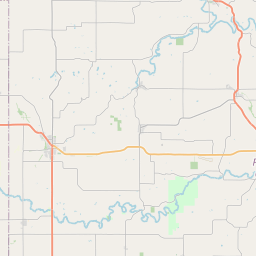
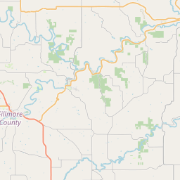
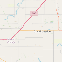

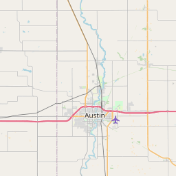

Leaflet | <a href="https://www.openstreetmap.org/copyright">© OpenStreetMap contributors</a>
Item
| Property | Value |
|---|---|
| id | 1135862 |
| cluster | None |
| dasqkm_diff | None |
| description | USGS NWIS Stream/River/Lake Site 05384030: SOUTH BRANCH ROOT RIVER AT CARIMONA, MN |
| fid | 124531 |
| gage_totdasqkm | None |
| mainstem_uri | https://geoconnex.us/ref/mainstems/384142 |
| name | SOUTH BRANCH ROOT RIVER AT CARIMONA, MN |
| nhdpv2_comid | 2464965.0 |
| nhdpv2_link_source | https://github.com/internetofwater/ref_gages |
| nhdpv2_offset_m | 21.6281187444439 |
| nhdpv2_reach_measure | 27.6996 |
| nhdpv2_reachcode | 07040008000354 |
| nhdpv2_totdasqkm | 344.9 |
| nws_url | None |
| provider | https://waterdata.usgs.gov |
| provider_id | 05384030 |
| subjectof | https://waterdata.usgs.gov/monitoring-location/05384030 |
| uri | https://geoconnex.us/ref/gages/1135862 |