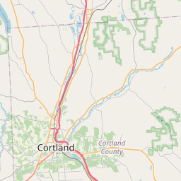
USGS NWIS Stream/River/Lake Site 423533076062101: TROUT BROOK AT CORTLANDVILLE NY
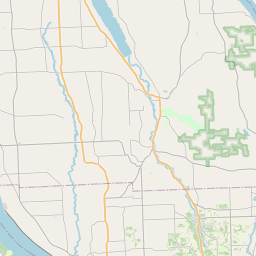
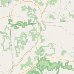
Map

Leaflet | <a href="https://www.openstreetmap.org/copyright">© OpenStreetMap contributors</a>
Item
| Property | Value |
|---|---|
| id | 1153023 |
| cluster | None |
| dasqkm_diff | None |
| description | USGS NWIS Stream/River/Lake Site 423533076062101: TROUT BROOK AT CORTLANDVILLE NY |
| fid | 130383 |
| gage_totdasqkm | None |
| mainstem_uri | https://geoconnex.us/ref/mainstems/199341 |
| name | TROUT BROOK AT CORTLANDVILLE NY |
| nhdpv2_comid | 9422087.0 |
| nhdpv2_link_source | https://github.com/internetofwater/ref_gages |
| nhdpv2_offset_m | 53.3590928219868 |
| nhdpv2_reach_measure | 60.3383 |
| nhdpv2_reachcode | 02050102000391 |
| nhdpv2_totdasqkm | 96.4 |
| nws_url | None |
| provider | https://waterdata.usgs.gov |
| provider_id | 423533076062101 |
| subjectof | https://waterdata.usgs.gov/monitoring-location/423533076062101 |
| uri | https://geoconnex.us/ref/gages/1153023 |