USGS NWIS Stream/River/Lake Site 10405400: SILVER CREEK RESERVOIR NEAR RILEY,OREG.
Map
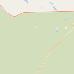

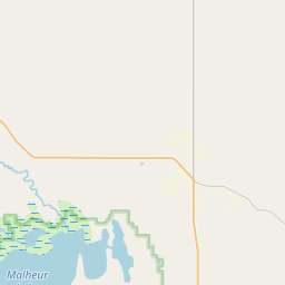

Leaflet | <a href="https://www.openstreetmap.org/copyright">© OpenStreetMap contributors</a>
Item
| Property | Value |
|---|---|
| id | 1160384 |
| cluster | https://geoconnex.us/ref/gages/1061991,https://geoconnex.us/ref/gages/1160385 |
| dasqkm_diff | None |
| description | USGS NWIS Stream/River/Lake Site 10405400: SILVER CREEK RESERVOIR NEAR RILEY,OREG. |
| fid | 137630 |
| gage_totdasqkm | None |
| mainstem_uri | None |
| name | SILVER CREEK RESERVOIR NEAR RILEY,OREG. |
| nhdpv2_comid | 24018829.0 |
| nhdpv2_link_source | https://github.com/internetofwater/ref_gages |
| nhdpv2_offset_m | 273.297017673365 |
| nhdpv2_reach_measure | 87.055 |
| nhdpv2_reachcode | 17120004000601 |
| nhdpv2_totdasqkm | 18.8 |
| nws_url | None |
| provider | https://waterdata.usgs.gov |
| provider_id | 10405400 |
| subjectof | https://waterdata.usgs.gov/monitoring-location/10405400 |
| uri | https://geoconnex.us/ref/gages/1160384 |