Stream Type: High-volume snowmelt and rain (HSR) Status: Active
Map
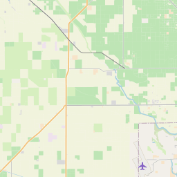
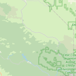
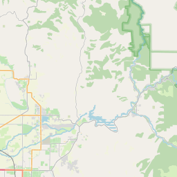

Leaflet | <a href="https://www.openstreetmap.org/copyright">© OpenStreetMap contributors</a>
Item
| Property | Value |
|---|---|
| id | 1185619 |
| cluster | None |
| dasqkm_diff | 0.0 |
| description | Stream Type: High-volume snowmelt and rain (HSR) Status: Active |
| fid | 194334 |
| gage_totdasqkm | 4964.7 |
| mainstem_uri | None |
| name | KINGS RIVER BELOW CRESCENT WEIR |
| nhdpv2_comid | 17153414.0 |
| nhdpv2_link_source | https://cdec.water.ca.gov |
| nhdpv2_offset_m | 1.25759136194668 |
| nhdpv2_reach_measure | 1.9204 |
| nhdpv2_reachcode | 18030012009243 |
| nhdpv2_totdasqkm | 4964.7 |
| nws_url | None |
| provider | https://cdec.water.ca.gov |
| provider_id | CSW |
| subjectof | http://cdec.water.ca.gov/dynamicapp/staMeta?station_id=CSW |
| uri | https://geoconnex.us/ref/gages/1185619 |