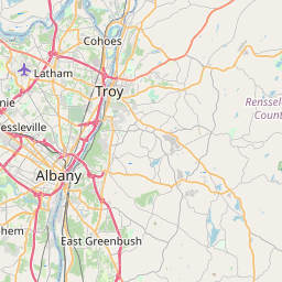
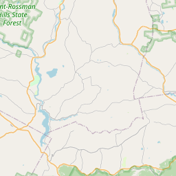
USGS NWIS Stream/River/Lake Site 423326073391001: MOORDENER KILL AT SCHODACK TOWN PARK NY
Map

Leaflet | <a href="https://www.openstreetmap.org/copyright">© OpenStreetMap contributors</a>
Item
| Property | Value |
|---|---|
| id | 1187455 |
| cluster | None |
| dasqkm_diff | None |
| description | USGS NWIS Stream/River/Lake Site 423326073391001: MOORDENER KILL AT SCHODACK TOWN PARK NY |
| fid | 174803 |
| gage_totdasqkm | None |
| mainstem_uri | https://geoconnex.us/ref/mainstems/2108567 |
| name | MOORDENER KILL AT SCHODACK TOWN PARK NY |
| nhdpv2_comid | 6185958.0 |
| nhdpv2_link_source | https://github.com/internetofwater/ref_gages |
| nhdpv2_offset_m | 16.0583817118904 |
| nhdpv2_reach_measure | 38.9258 |
| nhdpv2_reachcode | 02020006000151 |
| nhdpv2_totdasqkm | 35.1 |
| nws_url | None |
| provider | https://waterdata.usgs.gov |
| provider_id | 423326073391001 |
| subjectof | https://waterdata.usgs.gov/monitoring-location/423326073391001 |
| uri | https://geoconnex.us/ref/gages/1187455 |