CO DWR Station Type: Stream from data source: U.S. Geological Survey
Map
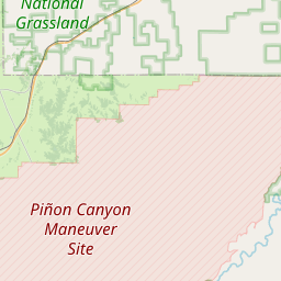
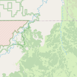
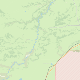
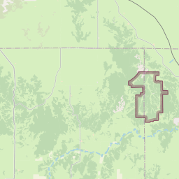
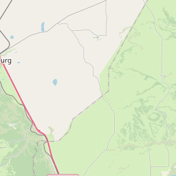
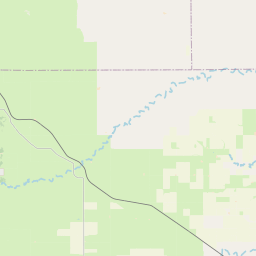

Leaflet | <a href="https://www.openstreetmap.org/copyright">© OpenStreetMap contributors</a>
Item
| Property | Value |
|---|---|
| id | 1189972 |
| cluster | https://geoconnex.us/ref/gages/1056953 |
| dasqkm_diff | None |
| description | CO DWR Station Type: Stream from data source: U.S. Geological Survey |
| fid | 177323 |
| gage_totdasqkm | None |
| mainstem_uri | None |
| name | RED ROCK CANYON CREEK AT MOUTH NR THATCHER, CO. |
| nhdpv2_comid | None |
| nhdpv2_link_source | None |
| nhdpv2_offset_m | None |
| nhdpv2_reach_measure | None |
| nhdpv2_reachcode | None |
| nhdpv2_totdasqkm | None |
| nws_url | None |
| provider | https://dwr.state.co.us |
| provider_id | REDTHACO |
| subjectof | https://dwr.state.co.us/Tools/Stations/REDTHACO |
| uri | https://geoconnex.us/ref/gages/1189972 |