CO DWR Station Type: Stream from data source: Northern Water
Map
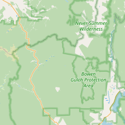
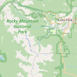
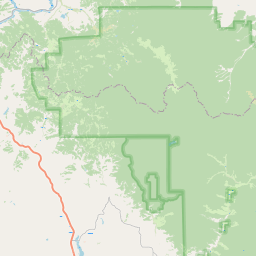
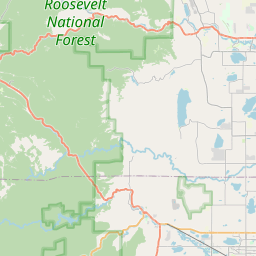

Leaflet | <a href="https://www.openstreetmap.org/copyright">© OpenStreetMap contributors</a>
Item
| Property | Value |
|---|---|
| id | 1190429 |
| cluster | https://geoconnex.us/ref/gages/1055734 |
| dasqkm_diff | None |
| description | CO DWR Station Type: Stream from data source: Northern Water |
| fid | 166804 |
| gage_totdasqkm | None |
| mainstem_uri | https://geoconnex.us/ref/mainstems/51258 |
| name | NORTH INLET CREEK |
| nhdpv2_comid | 1234481.0 |
| nhdpv2_link_source | https://github.com/internetofwater/ref_gages |
| nhdpv2_offset_m | 33.4863410065017 |
| nhdpv2_reach_measure | 30.0343 |
| nhdpv2_reachcode | 14010001000599 |
| nhdpv2_totdasqkm | 118.8 |
| provider | https://dwr.state.co.us |
| provider_id | NORINLET |
| subjectof | https://dwr.state.co.us/Tools/Stations/NORINLET |
| uri | https://geoconnex.us/ref/gages/1190429 |