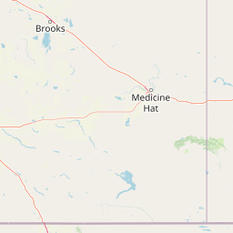
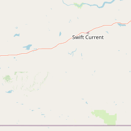
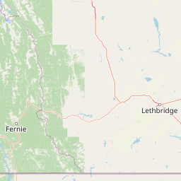
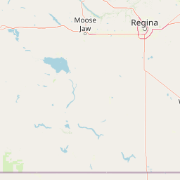
Upper Lodge Creek
Map
Leaflet | <a href="https://www.openstreetmap.org/copyright">© OpenStreetMap contributors</a>
Item
| Property | Value |
|---|---|
| id | 1005000703 |
| fid | 18194 |
| gnis_id | None |
| gnis_url | |
| loaddate | 2017-10-23 15:38:58+00:00 |
| name | Upper Lodge Creek |
| uri | https://geoconnex.us/ref/hu10/1005000703 |