Conundrum Creek
Map
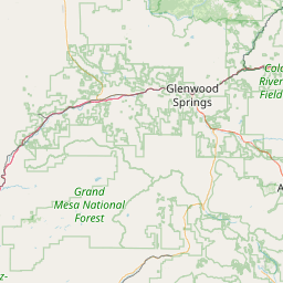
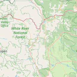
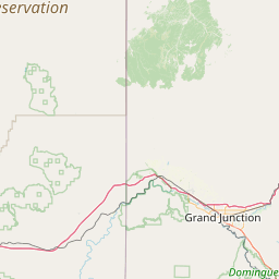
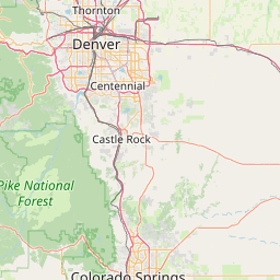
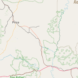
Leaflet | <a href="https://www.openstreetmap.org/copyright">© OpenStreetMap contributors</a>
Item
| Property | Value |
|---|---|
| id | 104442 |
| downstream_mainstem_id | https://geoconnex.us/ref/mainstems/60393 |
| encompassing_mainstem_basins | ['https://geoconnex.us/ref/mainstems/60393', 'https://geoconnex.us/ref/mainstems/40769', 'https://geoconnex.us/ref/mainstems/29559'] |
| featuretype | ['https://www.opengis.net/def/schema/hy_features/hyf/HY_FlowPath', 'https://www.opengis.net/def/schema/hy_features/hyf/HY_WaterBody'] |
| fid | 25509 |
| head_2020huc12 | 140100040201 |
| head_nhdpv1_comid | 1327309 |
| head_nhdpv2_comid | https://geoconnex.us/nhdplusv2/comid/1327309 |
| head_nhdpv2huc12 | https://geoconnex.us/nhdplusv2/huc12/140100040201 |
| head_rf1id | 41394 |
| lengthkm | 14.7 |
| name_at_outlet | Conundrum Creek |
| name_at_outlet_gnis_id | 180076 |
| new_mainstemid | |
| outlet_2020huc12 | 140100040201 |
| outlet_drainagearea_sqkm | 57.3 |
| outlet_nhdpv1_comid | 1327249 |
| outlet_nhdpv2_comid | https://geoconnex.us/nhdplusv2/comid/1327249 |
| outlet_nhdpv2huc12 | https://geoconnex.us/nhdplusv2/huc12/140100040201 |
| outlet_rf1id | 41394 |
| superseded | False |
| uri | https://geoconnex.us/ref/mainstems/104442 |