Big Cherry Creek
Map


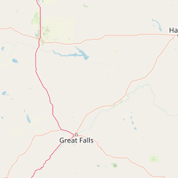

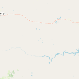
Leaflet | <a href="https://www.openstreetmap.org/copyright">© OpenStreetMap contributors</a>
Item
| Property | Value |
|---|---|
| id | 1436877 |
| downstream_mainstem_id | https://geoconnex.us/ref/mainstems/1435681 |
| encompassing_mainstem_basins | ['https://geoconnex.us/ref/mainstems/1435681', 'https://geoconnex.us/ref/mainstems/1427912', 'https://geoconnex.us/ref/mainstems/1423587'] |
| featuretype | ['https://www.opengis.net/def/schema/hy_features/hyf/HY_FlowPath', 'https://www.opengis.net/def/schema/hy_features/hyf/HY_WaterBody'] |
| fid | 28531 |
| head_2020huc12 | 170101011304 |
| head_nhdpv1_comid | 22882593 |
| head_nhdpv2_comid | https://geoconnex.us/nhdplusv2/comid/22882593 |
| head_nhdpv2huc12 | https://geoconnex.us/nhdplusv2/huc12/170101010804 |
| head_rf1id | 45519 |
| lengthkm | 31.2 |
| name_at_outlet | Big Cherry Creek |
| name_at_outlet_gnis_id | 779774 |
| new_mainstemid | |
| outlet_2020huc12 | 170101011304 |
| outlet_drainagearea_sqkm | 219.0 |
| outlet_nhdpv1_comid | 22882471 |
| outlet_nhdpv2_comid | https://geoconnex.us/nhdplusv2/comid/22882471 |
| outlet_nhdpv2huc12 | https://geoconnex.us/nhdplusv2/huc12/170101010804 |
| outlet_rf1id | 45513 |
| superseded | False |
| uri | https://geoconnex.us/ref/mainstems/1436877 |