Twin Falls Main Canal
Map
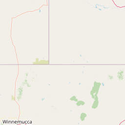
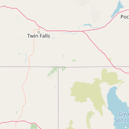
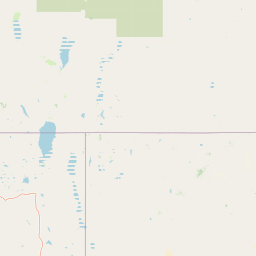

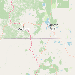

Leaflet | <a href="https://www.openstreetmap.org/copyright">© OpenStreetMap contributors</a>
Item
| Property | Value |
|---|---|
| id | 1439819 |
| downstream_mainstem_id | |
| encompassing_mainstem_basins | |
| featuretype | ['https://www.opengis.net/def/schema/hy_features/hyf/HY_FlowPath', 'https://www.opengis.net/def/schema/hy_features/hyf/HY_WaterBody'] |
| fid | 34065 |
| head_2020huc12 | |
| head_nhdpv1_comid | 24493782 |
| head_nhdpv2_comid | https://geoconnex.us/nhdplusv2/comid/24493782 |
| head_nhdpv2huc12 | https://geoconnex.us/nhdplusv2/huc12/170402120301 |
| head_rf1id | 48190 |
| lengthkm | 33.5 |
| name_at_outlet | Twin Falls Main Canal |
| name_at_outlet_gnis_id | 395883 |
| new_mainstemid | ['https://geoconnex.us/ref/mainstems/2547827', 'https://geoconnex.us/ref/mainstems/2547826'] |
| outlet_2020huc12 | |
| outlet_drainagearea_sqkm | 595.1 |
| outlet_nhdpv1_comid | 24491308 |
| outlet_nhdpv2_comid | https://geoconnex.us/nhdplusv2/comid/24491308 |
| outlet_nhdpv2huc12 | https://geoconnex.us/nhdplusv2/huc12/170402120303 |
| outlet_rf1id | 48191 |
| superseded | True |
| uri | https://geoconnex.us/ref/mainstems/1439819 |