Dry Fork North Fork Blackfoot River
Map

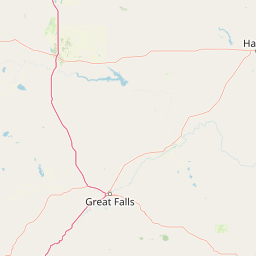

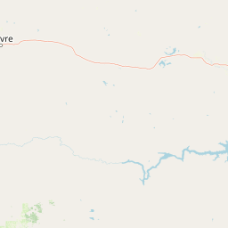

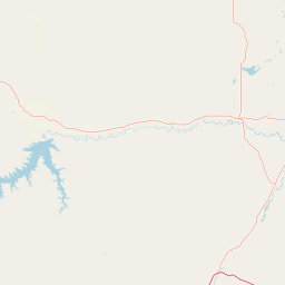
Leaflet | <a href="https://www.openstreetmap.org/copyright">© OpenStreetMap contributors</a>
Item
| Property | Value |
|---|---|
| id | 1439912 |
| downstream_mainstem_id | https://geoconnex.us/ref/mainstems/1432793 |
| encompassing_mainstem_basins | ['https://geoconnex.us/ref/mainstems/1432793', 'https://geoconnex.us/ref/mainstems/1428490', 'https://geoconnex.us/ref/mainstems/1423587'] |
| featuretype | ['https://www.opengis.net/def/schema/hy_features/hyf/HY_FlowPath', 'https://www.opengis.net/def/schema/hy_features/hyf/HY_WaterBody'] |
| fid | 28677 |
| head_2020huc12 | 170102030503 |
| head_nhdpv1_comid | 22913486 |
| head_nhdpv2_comid | https://geoconnex.us/nhdplusv2/comid/22913486 |
| head_nhdpv2huc12 | https://geoconnex.us/nhdplusv2/huc12/170102030503 |
| head_rf1id | 45917 |
| lengthkm | 26.6 |
| name_at_outlet | Dry Fork North Fork Blackfoot River |
| name_at_outlet_gnis_id | 800715 |
| new_mainstemid | |
| outlet_2020huc12 | 170102030503 |
| outlet_drainagearea_sqkm | 198.5 |
| outlet_nhdpv1_comid | 22913382 |
| outlet_nhdpv2_comid | https://geoconnex.us/nhdplusv2/comid/22913382 |
| outlet_nhdpv2huc12 | https://geoconnex.us/nhdplusv2/huc12/170102030503 |
| outlet_rf1id | 45914 |
| superseded | False |
| uri | https://geoconnex.us/ref/mainstems/1439912 |