Crane Creek
Map


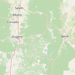


Leaflet | <a href="https://www.openstreetmap.org/copyright">© OpenStreetMap contributors</a>
Item
| Property | Value |
|---|---|
| id | 1442955 |
| downstream_mainstem_id | https://geoconnex.us/ref/mainstems/1435358 |
| encompassing_mainstem_basins | ['https://geoconnex.us/ref/mainstems/1435358', 'https://geoconnex.us/ref/mainstems/1427431', 'https://geoconnex.us/ref/mainstems/1423796', 'https://geoconnex.us/ref/mainstems/1423587'] |
| featuretype | ['https://www.opengis.net/def/schema/hy_features/hyf/HY_FlowPath', 'https://www.opengis.net/def/schema/hy_features/hyf/HY_WaterBody'] |
| fid | 30036 |
| head_2020huc12 | 170501160901 |
| head_nhdpv1_comid | 23416339 |
| head_nhdpv2_comid | https://geoconnex.us/nhdplusv2/comid/23416339 |
| head_nhdpv2huc12 | https://geoconnex.us/nhdplusv2/huc12/170501160901 |
| head_rf1id | 49463 |
| lengthkm | 41.4 |
| name_at_outlet | Crane Creek |
| name_at_outlet_gnis_id | 1119507 |
| new_mainstemid | |
| outlet_2020huc12 | 170501160904 |
| outlet_drainagearea_sqkm | 354.7 |
| outlet_nhdpv1_comid | 23414157 |
| outlet_nhdpv2_comid | https://geoconnex.us/nhdplusv2/comid/23414157 |
| outlet_nhdpv2huc12 | https://geoconnex.us/nhdplusv2/huc12/170501160904 |
| outlet_rf1id | 49459 |
| superseded | False |
| uri | https://geoconnex.us/ref/mainstems/1442955 |