Hills Creek
Map
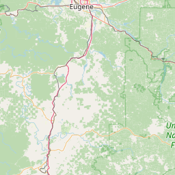
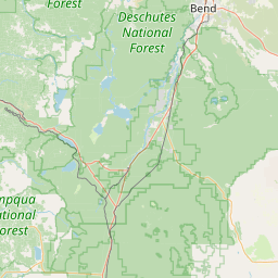
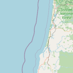

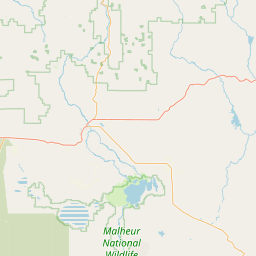
Leaflet | <a href="https://www.openstreetmap.org/copyright">© OpenStreetMap contributors</a>
Item
| Property | Value |
|---|---|
| id | 1444802 |
| downstream_mainstem_id | https://geoconnex.us/ref/mainstems/1426120 |
| encompassing_mainstem_basins | ['https://geoconnex.us/ref/mainstems/1426120', 'https://geoconnex.us/ref/mainstems/1423587'] |
| featuretype | ['https://www.opengis.net/def/schema/hy_features/hyf/HY_FlowPath', 'https://www.opengis.net/def/schema/hy_features/hyf/HY_WaterBody'] |
| fid | 31157 |
| head_2020huc12 | 170900010201 |
| head_nhdpv1_comid | 23752264 |
| head_nhdpv2_comid | https://geoconnex.us/nhdplusv2/comid/23752264 |
| head_nhdpv2huc12 | https://geoconnex.us/nhdplusv2/huc12/170900010201 |
| head_rf1id | 52533 |
| lengthkm | 24.7 |
| name_at_outlet | Hills Creek |
| name_at_outlet_gnis_id | 1143605 |
| new_mainstemid | |
| outlet_2020huc12 | 170900010202 |
| outlet_drainagearea_sqkm | 155.6 |
| outlet_nhdpv1_comid | 23752220 |
| outlet_nhdpv2_comid | https://geoconnex.us/nhdplusv2/comid/23752220 |
| outlet_nhdpv2huc12 | https://geoconnex.us/nhdplusv2/huc12/170900010202 |
| outlet_rf1id | 56649 |
| superseded | False |
| uri | https://geoconnex.us/ref/mainstems/1444802 |
Graph Results
| monitoringLocation | https://sta.geoconnex.dev/collections/USGS/Things/items/'USGS-14144900' |
|---|---|
| siteName | USGS-14144900 |
| datasetDescription | Gage height / USGS-14144900-a5d5a3256416421b996721bf71acef82 |
| type | Stream |
| url | https://waterdata.usgs.gov/monitoring-location/14144900/#parameterCode=00065 |
| variableMeasured | Gage height / USGS-14144900-a5d5a3256416421b996721bf71acef82 |
| variableUnit | ft |
| measurementTechnique | observation |
| temporalCoverage | 2024-08-30T09:15:00Z/2024-09-09T18:15:00Z |
| distributionName | USGS Instantaneous Values Service |
| distributionURL | https://waterservices.usgs.gov/nwis/iv/?sites=USGS:14144900¶meterCd=00065&format=rdb |
| distributionFormat | text/tab-separated-values |
| wkt | POINT (-122.370599937927 43.6804006348438) |
| monitoringLocation | https://sta.geoconnex.dev/collections/USGS/Things/items/'USGS-14144900' |
|---|---|
| siteName | USGS-14144900 |
| datasetDescription | Gage height / USGS-14144900-a5d5a3256416421b996721bf71acef82 |
| type | Stream |
| url | https://waterdata.usgs.gov/monitoring-location/14144900/#parameterCode=00065 |
| variableMeasured | Gage height / USGS-14144900-a5d5a3256416421b996721bf71acef82 |
| variableUnit | ft |
| measurementTechnique | observation |
| temporalCoverage | 2024-08-30T09:15:00Z/2024-09-09T18:15:00Z |
| distributionName | USGS SensorThings API |
| distributionURL | https://labs.waterdata.usgs.gov/sta/v1.1/Datastreams('a5d5a3256416421b996721bf71acef82')?$expand=Thing,Observations |
| distributionFormat | application/json |
| wkt | POINT (-122.370599937927 43.6804006348438) |
| monitoringLocation | https://sta.geoconnex.dev/collections/USGS/Things/items/'USGS-14144900' |
|---|---|
| siteName | USGS-14144900 |
| datasetDescription | Temperature, water / USGS-14144900-f059511591724fe4b906b198485a4196 |
| type | Stream |
| url | https://waterdata.usgs.gov/monitoring-location/14144900/#parameterCode=00010 |
| variableMeasured | Temperature |
| variableUnit | degC |
| measurementTechnique | observation |
| temporalCoverage | 2024-08-30T09:15:00Z/2024-09-09T18:15:00Z |
| distributionName | USGS Instantaneous Values Service |
| distributionURL | https://waterservices.usgs.gov/nwis/iv/?sites=USGS:14144900¶meterCd=00010&format=rdb |
| distributionFormat | text/tab-separated-values |
| wkt | POINT (-122.370599937927 43.6804006348438) |
| monitoringLocation | https://sta.geoconnex.dev/collections/USGS/Things/items/'USGS-14144900' |
|---|---|
| siteName | USGS-14144900 |
| datasetDescription | Temperature, water / USGS-14144900-f059511591724fe4b906b198485a4196 |
| type | Stream |
| url | https://waterdata.usgs.gov/monitoring-location/14144900/#parameterCode=00010 |
| variableMeasured | Temperature |
| variableUnit | degC |
| measurementTechnique | observation |
| temporalCoverage | 2024-08-30T09:15:00Z/2024-09-09T18:15:00Z |
| distributionName | USGS SensorThings API |
| distributionURL | https://labs.waterdata.usgs.gov/sta/v1.1/Datastreams('f059511591724fe4b906b198485a4196')?$expand=Thing,Observations |
| distributionFormat | application/json |
| wkt | POINT (-122.370599937927 43.6804006348438) |