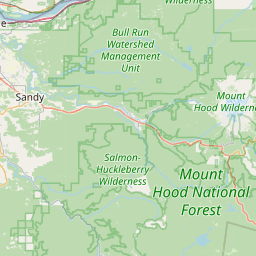
Badger Creek
Map

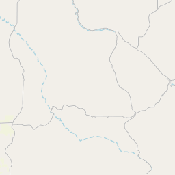
Leaflet | <a href="https://www.openstreetmap.org/copyright">© OpenStreetMap contributors</a>
Item
| Property | Value |
|---|---|
| id | 1444838 |
| downstream_mainstem_id | https://geoconnex.us/ref/mainstems/1442802 |
| encompassing_mainstem_basins | ['https://geoconnex.us/ref/mainstems/1442802', 'https://geoconnex.us/ref/mainstems/1438028', 'https://geoconnex.us/ref/mainstems/1427244', 'https://geoconnex.us/ref/mainstems/1423587'] |
| featuretype | ['https://www.opengis.net/def/schema/hy_features/hyf/HY_FlowPath', 'https://www.opengis.net/def/schema/hy_features/hyf/HY_WaterBody'] |
| fid | 31010 |
| head_2020huc12 | 170703060801 |
| head_nhdpv1_comid | 23718885 |
| head_nhdpv2_comid | https://geoconnex.us/nhdplusv2/comid/23718885 |
| head_nhdpv2huc12 | https://geoconnex.us/nhdplusv2/huc12/170703060801 |
| head_rf1id | 52160 |
| lengthkm | 35.3 |
| name_at_outlet | Badger Creek |
| name_at_outlet_gnis_id | 1137396 |
| new_mainstemid | |
| outlet_2020huc12 | 170703060804 |
| outlet_drainagearea_sqkm | 133.0 |
| outlet_nhdpv1_comid | 23718845 |
| outlet_nhdpv2_comid | https://geoconnex.us/nhdplusv2/comid/23718845 |
| outlet_nhdpv2huc12 | https://geoconnex.us/nhdplusv2/huc12/170703060804 |
| outlet_rf1id | 52160 |
| superseded | False |
| uri | https://geoconnex.us/ref/mainstems/1444838 |