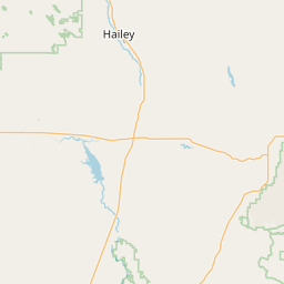
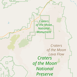
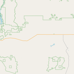
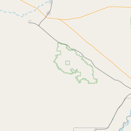
South Fork Muldoon Creek
Map
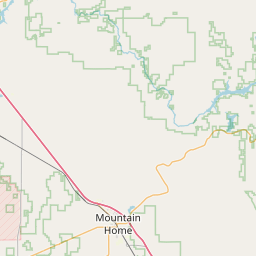
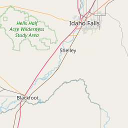
Leaflet | <a href="https://www.openstreetmap.org/copyright">© OpenStreetMap contributors</a>
Item
| Property | Value |
|---|---|
| id | 1447819 |
| downstream_mainstem_id | https://geoconnex.us/ref/mainstems/1438566 |
| encompassing_mainstem_basins | ['https://geoconnex.us/ref/mainstems/1438566', 'https://geoconnex.us/ref/mainstems/1431368', 'https://geoconnex.us/ref/mainstems/1428305', 'https://geoconnex.us/ref/mainstems/1423796', 'https://geoconnex.us/ref/mainstems/1423587'] |
| featuretype | ['https://www.opengis.net/def/schema/hy_features/hyf/HY_FlowPath', 'https://www.opengis.net/def/schema/hy_features/hyf/HY_WaterBody'] |
| fid | 29729 |
| head_2020huc12 | 170402210202 |
| head_nhdpv1_comid | 23269254 |
| head_nhdpv2_comid | https://geoconnex.us/nhdplusv2/comid/23269254 |
| head_nhdpv2huc12 | https://geoconnex.us/nhdplusv2/huc12/170402210202 |
| head_rf1id | 48585 |
| lengthkm | 13.2 |
| name_at_outlet | South Fork Muldoon Creek |
| name_at_outlet_gnis_id | 395971 |
| new_mainstemid | |
| outlet_2020huc12 | 170402210202 |
| outlet_drainagearea_sqkm | 133.1 |
| outlet_nhdpv1_comid | 23267096 |
| outlet_nhdpv2_comid | https://geoconnex.us/nhdplusv2/comid/23267096 |
| outlet_nhdpv2huc12 | https://geoconnex.us/nhdplusv2/huc12/170402210202 |
| outlet_rf1id | 48584 |
| superseded | False |
| uri | https://geoconnex.us/ref/mainstems/1447819 |