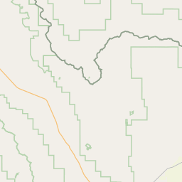
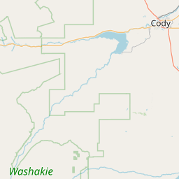
Rock Creek
Map
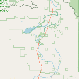
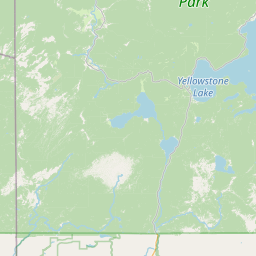
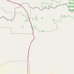
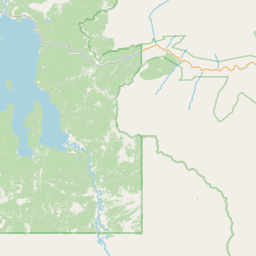
Leaflet | <a href="https://www.openstreetmap.org/copyright">© OpenStreetMap contributors</a>
Item
| Property | Value |
|---|---|
| id | 1451652 |
| downstream_mainstem_id | https://geoconnex.us/ref/mainstems/1447876 |
| encompassing_mainstem_basins | ['https://geoconnex.us/ref/mainstems/1447876', 'https://geoconnex.us/ref/mainstems/1440746', 'https://geoconnex.us/ref/mainstems/1426393', 'https://geoconnex.us/ref/mainstems/1423796', 'https://geoconnex.us/ref/mainstems/1423587'] |
| featuretype | ['https://www.opengis.net/def/schema/hy_features/hyf/HY_FlowPath', 'https://www.opengis.net/def/schema/hy_features/hyf/HY_WaterBody'] |
| fid | 29478 |
| head_2020huc12 | 170402020402 |
| head_nhdpv1_comid | 24459688 |
| head_nhdpv2_comid | https://geoconnex.us/nhdplusv2/comid/24459688 |
| head_nhdpv2huc12 | https://geoconnex.us/nhdplusv2/huc12/170402020503 |
| head_rf1id | 47827 |
| lengthkm | 20.5 |
| name_at_outlet | Rock Creek |
| name_at_outlet_gnis_id | 389484 |
| new_mainstemid | |
| outlet_2020huc12 | 170402020402 |
| outlet_drainagearea_sqkm | 114.8 |
| outlet_nhdpv1_comid | 24459662 |
| outlet_nhdpv2_comid | https://geoconnex.us/nhdplusv2/comid/24459662 |
| outlet_nhdpv2huc12 | https://geoconnex.us/nhdplusv2/huc12/170402020503 |
| outlet_rf1id | 47825 |
| superseded | False |
| uri | https://geoconnex.us/ref/mainstems/1451652 |