Antoine Creek
Map
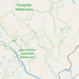
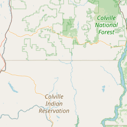
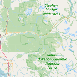
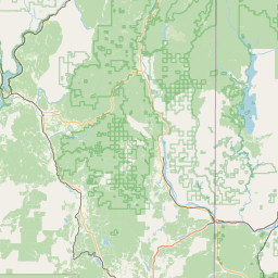
Leaflet | <a href="https://www.openstreetmap.org/copyright">© OpenStreetMap contributors</a>
Item
| Property | Value |
|---|---|
| id | 1451806 |
| downstream_mainstem_id | https://geoconnex.us/ref/mainstems/1429859 |
| encompassing_mainstem_basins | ['https://geoconnex.us/ref/mainstems/1429859', 'https://geoconnex.us/ref/mainstems/1423587'] |
| featuretype | ['https://www.opengis.net/def/schema/hy_features/hyf/HY_FlowPath', 'https://www.opengis.net/def/schema/hy_features/hyf/HY_WaterBody'] |
| fid | 29164 |
| head_2020huc12 | 170200061603 |
| head_nhdpv1_comid | 23065155 |
| head_nhdpv2_comid | https://geoconnex.us/nhdplusv2/comid/23065155 |
| head_nhdpv2huc12 | https://geoconnex.us/nhdplusv2/huc12/170200060105 |
| head_rf1id | 47341 |
| lengthkm | 31.7 |
| name_at_outlet | Antoine Creek |
| name_at_outlet_gnis_id | 1515922 |
| new_mainstemid | |
| outlet_2020huc12 | 170200061605 |
| outlet_drainagearea_sqkm | 190.5 |
| outlet_nhdpv1_comid | 23065129 |
| outlet_nhdpv2_comid | https://geoconnex.us/nhdplusv2/comid/23065129 |
| outlet_nhdpv2huc12 | https://geoconnex.us/nhdplusv2/huc12/170200060107 |
| outlet_rf1id | 47340 |
| superseded | False |
| uri | https://geoconnex.us/ref/mainstems/1451806 |
Graph Results
| monitoringLocation | https://sta.geoconnex.dev/collections/USGS/Things/items/'USGS-12444290' |
|---|---|
| siteName | USGS-12444290 |
| datasetDescription | Discharge / USGS-12444290-47dbae4408124414b21a77528581b344 |
| type | Stream |
| url | https://waterdata.usgs.gov/monitoring-location/12444290/#parameterCode=00060 |
| variableMeasured | Discharge / USGS-12444290-47dbae4408124414b21a77528581b344 |
| variableUnit | ft^3/s |
| measurementTechnique | observation |
| temporalCoverage | 2024-08-30T09:15:00Z/2024-09-09T18:00:00Z |
| distributionName | USGS Instantaneous Values Service |
| distributionURL | https://waterservices.usgs.gov/nwis/iv/?sites=USGS:12444290¶meterCd=00060&format=rdb |
| distributionFormat | text/tab-separated-values |
| wkt | POINT (-119.409227388441 48.7593207140597) |
| monitoringLocation | https://sta.geoconnex.dev/collections/USGS/Things/items/'USGS-12444290' |
|---|---|
| siteName | USGS-12444290 |
| datasetDescription | Discharge / USGS-12444290-47dbae4408124414b21a77528581b344 |
| type | Stream |
| url | https://waterdata.usgs.gov/monitoring-location/12444290/#parameterCode=00060 |
| variableMeasured | Discharge / USGS-12444290-47dbae4408124414b21a77528581b344 |
| variableUnit | ft^3/s |
| measurementTechnique | observation |
| temporalCoverage | 2024-08-30T09:15:00Z/2024-09-09T18:00:00Z |
| distributionName | USGS SensorThings API |
| distributionURL | https://labs.waterdata.usgs.gov/sta/v1.1/Datastreams('47dbae4408124414b21a77528581b344')?$expand=Thing,Observations |
| distributionFormat | application/json |
| wkt | POINT (-119.409227388441 48.7593207140597) |
| monitoringLocation | https://sta.geoconnex.dev/collections/USGS/Things/items/'USGS-12444290' |
|---|---|
| siteName | USGS-12444290 |
| datasetDescription | Gage height / USGS-12444290-5528d76e4eaf49819ebe8e5a4c297d86 |
| type | Stream |
| url | https://waterdata.usgs.gov/monitoring-location/12444290/#parameterCode=00065 |
| variableMeasured | Gage height / USGS-12444290-5528d76e4eaf49819ebe8e5a4c297d86 |
| variableUnit | ft |
| measurementTechnique | observation |
| temporalCoverage | 2021-10-14T19:15:00Z/2024-09-09T18:00:00Z |
| distributionName | USGS SensorThings API |
| distributionURL | https://labs.waterdata.usgs.gov/sta/v1.1/Datastreams('5528d76e4eaf49819ebe8e5a4c297d86')?$expand=Thing,Observations |
| distributionFormat | application/json |
| wkt | POINT (-119.409227388441 48.7593207140597) |
| monitoringLocation | https://sta.geoconnex.dev/collections/USGS/Things/items/'USGS-12444290' |
|---|---|
| siteName | USGS-12444290 |
| datasetDescription | Gage height / USGS-12444290-5528d76e4eaf49819ebe8e5a4c297d86 |
| type | Stream |
| url | https://waterdata.usgs.gov/monitoring-location/12444290/#parameterCode=00065 |
| variableMeasured | Gage height / USGS-12444290-5528d76e4eaf49819ebe8e5a4c297d86 |
| variableUnit | ft |
| measurementTechnique | observation |
| temporalCoverage | 2021-10-14T19:15:00Z/2024-09-09T18:00:00Z |
| distributionName | USGS Instantaneous Values Service |
| distributionURL | https://waterservices.usgs.gov/nwis/iv/?sites=USGS:12444290¶meterCd=00065&format=rdb |
| distributionFormat | text/tab-separated-values |
| wkt | POINT (-119.409227388441 48.7593207140597) |