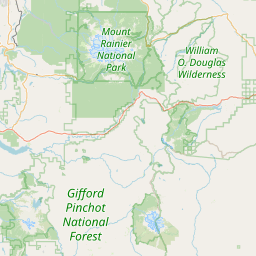
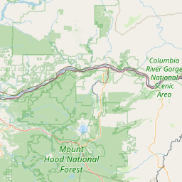
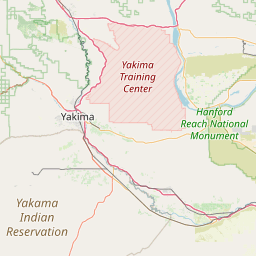
South Channel
Map
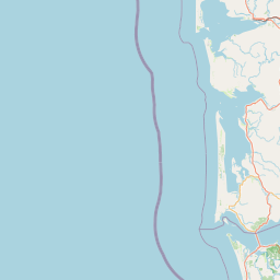
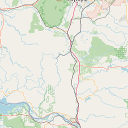
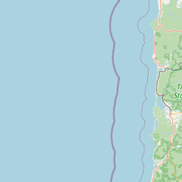
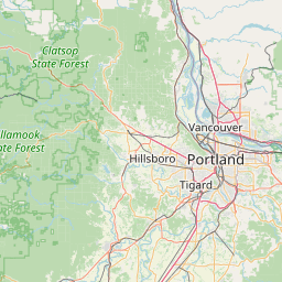


Leaflet | <a href="https://www.openstreetmap.org/copyright">© OpenStreetMap contributors</a>
Item
| Property | Value |
|---|---|
| id | 1452134 |
| downstream_mainstem_id | https://geoconnex.us/ref/mainstems/1438234 |
| encompassing_mainstem_basins | ['https://geoconnex.us/ref/mainstems/1438234', 'https://geoconnex.us/ref/mainstems/1423587'] |
| featuretype | ['https://www.opengis.net/def/schema/hy_features/hyf/HY_FlowPath', 'https://www.opengis.net/def/schema/hy_features/hyf/HY_WaterBody'] |
| fid | 31138 |
| head_2020huc12 | 170800060103 |
| head_nhdpv1_comid | 23834199 |
| head_nhdpv2_comid | https://geoconnex.us/nhdplusv2/comid/23834199 |
| head_nhdpv2huc12 | https://geoconnex.us/nhdplusv2/huc12/170800060103 |
| head_rf1id | None |
| lengthkm | 20.7 |
| name_at_outlet | South Channel |
| name_at_outlet_gnis_id | 1127240 |
| new_mainstemid | |
| outlet_2020huc12 | 170800060103 |
| outlet_drainagearea_sqkm | 61.7 |
| outlet_nhdpv1_comid | 23834425 |
| outlet_nhdpv2_comid | https://geoconnex.us/nhdplusv2/comid/23834425 |
| outlet_nhdpv2huc12 | https://geoconnex.us/nhdplusv2/huc12/170800060103 |
| outlet_rf1id | None |
| superseded | False |
| uri | https://geoconnex.us/ref/mainstems/1452134 |