Cow Creek
Map


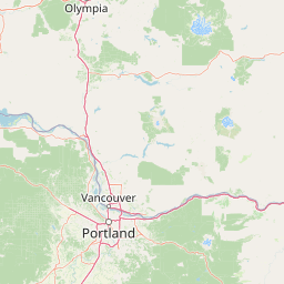

Leaflet | <a href="https://www.openstreetmap.org/copyright">© OpenStreetMap contributors</a>
Item
| Property | Value |
|---|---|
| id | 1452529 |
| downstream_mainstem_id | https://geoconnex.us/ref/mainstems/1432680 |
| encompassing_mainstem_basins | ['https://geoconnex.us/ref/mainstems/1432680', 'https://geoconnex.us/ref/mainstems/1423796', 'https://geoconnex.us/ref/mainstems/1423587'] |
| featuretype | ['https://www.opengis.net/def/schema/hy_features/hyf/HY_FlowPath', 'https://www.opengis.net/def/schema/hy_features/hyf/HY_WaterBody'] |
| fid | 30207 |
| head_2020huc12 | 170601020508 |
| head_nhdpv1_comid | 24224257 |
| head_nhdpv2_comid | https://geoconnex.us/nhdplusv2/comid/24224257 |
| head_nhdpv2huc12 | https://geoconnex.us/nhdplusv2/huc12/170601020508 |
| head_rf1id | 49975 |
| lengthkm | 31.1 |
| name_at_outlet | Cow Creek |
| name_at_outlet_gnis_id | 1140283 |
| new_mainstemid | |
| outlet_2020huc12 | 170601020509 |
| outlet_drainagearea_sqkm | 104.4 |
| outlet_nhdpv1_comid | 24224225 |
| outlet_nhdpv2_comid | https://geoconnex.us/nhdplusv2/comid/24224225 |
| outlet_nhdpv2huc12 | https://geoconnex.us/nhdplusv2/huc12/170601020509 |
| outlet_rf1id | 49973 |
| superseded | False |
| uri | https://geoconnex.us/ref/mainstems/1452529 |