Woodward Creek
Map
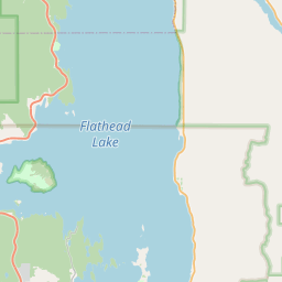
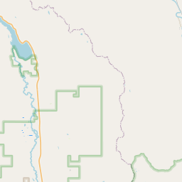
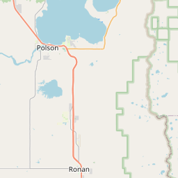
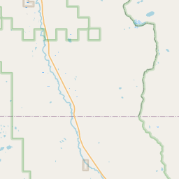
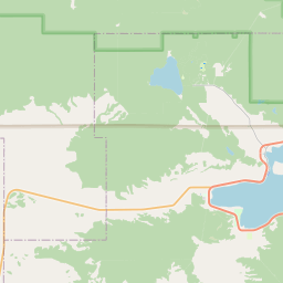
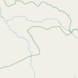

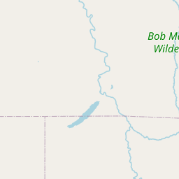
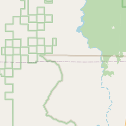
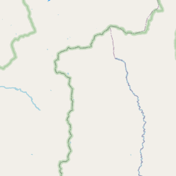
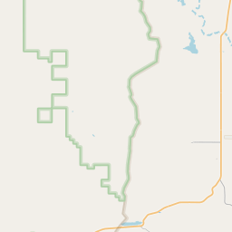
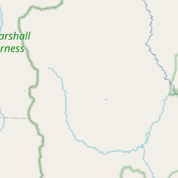
Leaflet | <a href="https://www.openstreetmap.org/copyright">© OpenStreetMap contributors</a>
Item
| Property | Value |
|---|---|
| id | 1456035 |
| downstream_mainstem_id | https://geoconnex.us/ref/mainstems/1432173 |
| encompassing_mainstem_basins | ['https://geoconnex.us/ref/mainstems/1432173', 'https://geoconnex.us/ref/mainstems/1426261', 'https://geoconnex.us/ref/mainstems/1423587'] |
| featuretype | ['https://www.opengis.net/def/schema/hy_features/hyf/HY_FlowPath', 'https://www.opengis.net/def/schema/hy_features/hyf/HY_WaterBody'] |
| fid | 28855 |
| head_2020huc12 | 170102110304 |
| head_nhdpv1_comid | 24350008 |
| head_nhdpv2_comid | https://geoconnex.us/nhdplusv2/comid/24350008 |
| head_nhdpv2huc12 | https://geoconnex.us/nhdplusv2/huc12/170102110304 |
| head_rf1id | None |
| lengthkm | 9.4 |
| name_at_outlet | Woodward Creek |
| name_at_outlet_gnis_id | 793531 |
| new_mainstemid | |
| outlet_2020huc12 | 170102110304 |
| outlet_drainagearea_sqkm | 65.4 |
| outlet_nhdpv1_comid | 24350004 |
| outlet_nhdpv2_comid | https://geoconnex.us/nhdplusv2/comid/24350004 |
| outlet_nhdpv2huc12 | https://geoconnex.us/nhdplusv2/huc12/170102110304 |
| outlet_rf1id | None |
| superseded | False |
| uri | https://geoconnex.us/ref/mainstems/1456035 |