Rapid Lightning Creek
Map
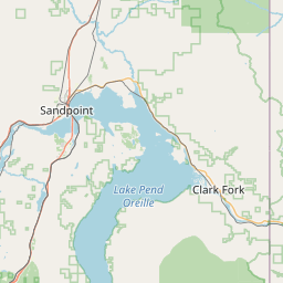
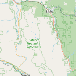
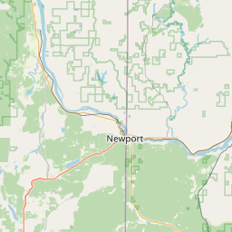
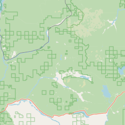

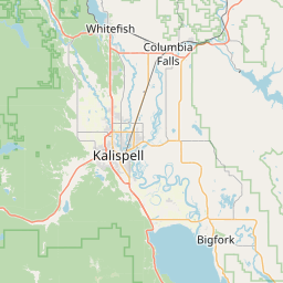
Leaflet | <a href="https://www.openstreetmap.org/copyright">© OpenStreetMap contributors</a>
Item
| Property | Value |
|---|---|
| id | 1457735 |
| downstream_mainstem_id | https://geoconnex.us/ref/mainstems/1437979 |
| encompassing_mainstem_basins | ['https://geoconnex.us/ref/mainstems/1437979', 'https://geoconnex.us/ref/mainstems/1423587'] |
| featuretype | ['https://www.opengis.net/def/schema/hy_features/hyf/HY_FlowPath', 'https://www.opengis.net/def/schema/hy_features/hyf/HY_WaterBody'] |
| fid | 28935 |
| head_2020huc12 | 170102140105 |
| head_nhdpv1_comid | 24114419 |
| head_nhdpv2_comid | https://geoconnex.us/nhdplusv2/comid/24114419 |
| head_nhdpv2huc12 | https://geoconnex.us/nhdplusv2/huc12/170102140105 |
| head_rf1id | 46688 |
| lengthkm | 20.9 |
| name_at_outlet | Rapid Lightning Creek |
| name_at_outlet_gnis_id | 389105 |
| new_mainstemid | |
| outlet_2020huc12 | 170102140105 |
| outlet_drainagearea_sqkm | 126.2 |
| outlet_nhdpv1_comid | 24114401 |
| outlet_nhdpv2_comid | https://geoconnex.us/nhdplusv2/comid/24114401 |
| outlet_nhdpv2huc12 | https://geoconnex.us/nhdplusv2/huc12/170102140105 |
| outlet_rf1id | 46688 |
| superseded | False |
| uri | https://geoconnex.us/ref/mainstems/1457735 |