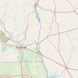
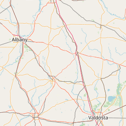
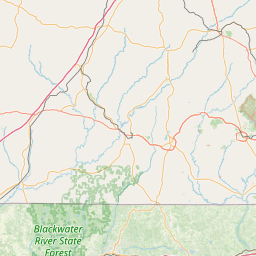
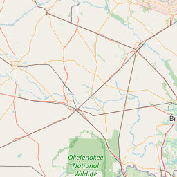
Long Branch
Map
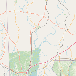

Leaflet | <a href="https://www.openstreetmap.org/copyright">© OpenStreetMap contributors</a>
Item
| Property | Value |
|---|---|
| id | 1679149 |
| downstream_mainstem_id | https://geoconnex.us/ref/mainstems/1674647 |
| encompassing_mainstem_basins | ['https://geoconnex.us/ref/mainstems/1674647', 'https://geoconnex.us/ref/mainstems/1673552', 'https://geoconnex.us/ref/mainstems/1673188'] |
| featuretype | ['https://www.opengis.net/def/schema/hy_features/hyf/HY_FlowPath', 'https://www.opengis.net/def/schema/hy_features/hyf/HY_WaterBody'] |
| fid | 4892 |
| head_2020huc12 | 031300100301 |
| head_nhdpv1_comid | 3516372 |
| head_nhdpv2_comid | https://geoconnex.us/nhdplusv2/comid/3516372 |
| head_nhdpv2huc12 | https://geoconnex.us/nhdplusv2/huc12/031300100301 |
| head_rf1id | 7722 |
| lengthkm | 20.5 |
| name_at_outlet | Long Branch |
| name_at_outlet_gnis_id | 317322 |
| new_mainstemid | |
| outlet_2020huc12 | 031300100302 |
| outlet_drainagearea_sqkm | 104.1 |
| outlet_nhdpv1_comid | 3516496 |
| outlet_nhdpv2_comid | https://geoconnex.us/nhdplusv2/comid/3516496 |
| outlet_nhdpv2huc12 | https://geoconnex.us/nhdplusv2/huc12/031300100302 |
| outlet_rf1id | 7722 |
| superseded | False |
| uri | https://geoconnex.us/ref/mainstems/1679149 |