Comanche Creek
Map
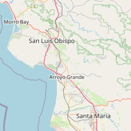

Leaflet | <a href="https://www.openstreetmap.org/copyright">© OpenStreetMap contributors</a>
Item
| Property | Value |
|---|---|
| id | 1801518 |
| downstream_mainstem_id | |
| encompassing_mainstem_basins | |
| featuretype | ['https://www.opengis.net/def/schema/hy_features/hyf/HY_FlowPath', 'https://www.opengis.net/def/schema/hy_features/hyf/HY_WaterBody'] |
| fid | 32691 |
| head_2020huc12 | 180300030603 |
| head_nhdpv1_comid | None |
| head_nhdpv2_comid | https://geoconnex.us/nhdplusv2/comid/14945804 |
| head_nhdpv2huc12 | https://geoconnex.us/nhdplusv2/huc12/180300030603 |
| head_rf1id | None |
| lengthkm | 27.6 |
| name_at_outlet | Comanche Creek |
| name_at_outlet_gnis_id | 240825 |
| new_mainstemid | |
| outlet_2020huc12 | 180300030603 |
| outlet_drainagearea_sqkm | 87.9 |
| outlet_nhdpv1_comid | None |
| outlet_nhdpv2_comid | https://geoconnex.us/nhdplusv2/comid/17174062 |
| outlet_nhdpv2huc12 | https://geoconnex.us/nhdplusv2/huc12/180300030603 |
| outlet_rf1id | None |
| superseded | False |
| uri | https://geoconnex.us/ref/mainstems/1801518 |