Fine Gold Creek
Map
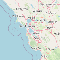
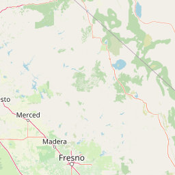

Leaflet | <a href="https://www.openstreetmap.org/copyright">© OpenStreetMap contributors</a>
Item
| Property | Value |
|---|---|
| id | 1808091 |
| downstream_mainstem_id | https://geoconnex.us/ref/mainstems/1805899 |
| encompassing_mainstem_basins | ['https://geoconnex.us/ref/mainstems/1805899'] |
| featuretype | ['https://www.opengis.net/def/schema/hy_features/hyf/HY_FlowPath', 'https://www.opengis.net/def/schema/hy_features/hyf/HY_WaterBody'] |
| fid | 32846 |
| head_2020huc12 | 180400061201 |
| head_nhdpv1_comid | 17115317 |
| head_nhdpv2_comid | https://geoconnex.us/nhdplusv2/comid/17115317 |
| head_nhdpv2huc12 | https://geoconnex.us/nhdplusv2/huc12/180400061201 |
| head_rf1id | 58819 |
| lengthkm | 32.7 |
| name_at_outlet | Fine Gold Creek |
| name_at_outlet_gnis_id | 253590 |
| new_mainstemid | |
| outlet_2020huc12 | 180400061202 |
| outlet_drainagearea_sqkm | 248.0 |
| outlet_nhdpv1_comid | 17116449 |
| outlet_nhdpv2_comid | https://geoconnex.us/nhdplusv2/comid/17116449 |
| outlet_nhdpv2huc12 | https://geoconnex.us/nhdplusv2/huc12/180400061202 |
| outlet_rf1id | 58822 |
| superseded | False |
| uri | https://geoconnex.us/ref/mainstems/1808091 |