Penns Creek
Map
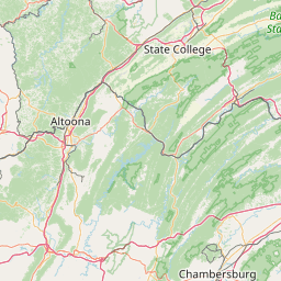
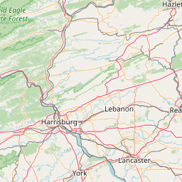
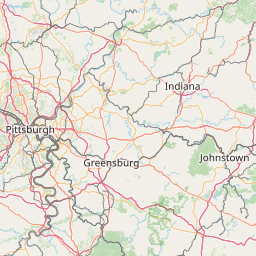
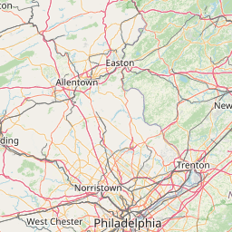
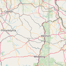
Leaflet | <a href="https://www.openstreetmap.org/copyright">© OpenStreetMap contributors</a>
Item
| Property | Value |
|---|---|
| id | 195461 |
| downstream_mainstem_id | https://geoconnex.us/ref/mainstems/194408 |
| encompassing_mainstem_basins | ['https://geoconnex.us/ref/mainstems/194408'] |
| featuretype | ['https://www.opengis.net/def/schema/hy_features/hyf/HY_FlowPath', 'https://www.opengis.net/def/schema/hy_features/hyf/HY_WaterBody'] |
| fid | 1671 |
| head_2020huc12 | |
| head_nhdpv1_comid | 4519254 |
| head_nhdpv2_comid | https://geoconnex.us/nhdplusv2/comid/4519254 |
| head_nhdpv2huc12 | |
| head_rf1id | 3321 |
| lengthkm | 106.3 |
| name_at_outlet | Penns Creek |
| name_at_outlet_gnis_id | 1209320 |
| new_mainstemid | |
| outlet_2020huc12 | |
| outlet_drainagearea_sqkm | 977.1 |
| outlet_nhdpv1_comid | 4518786 |
| outlet_nhdpv2_comid | https://geoconnex.us/nhdplusv2/comid/4518786 |
| outlet_nhdpv2huc12 | |
| outlet_rf1id | 4121 |
| superseded | False |
| uri | https://geoconnex.us/ref/mainstems/195461 |
Graph Results
| monitoringLocation | https://sta.geoconnex.dev/collections/USGS/Things/items/'USGS-01555000' |
|---|---|
| siteName | USGS-01555000 |
| datasetDescription | Discharge / USGS-01555000-03a919ff0a8e4e459f0b2f19b7488e10 |
| type | Stream |
| url | https://waterdata.usgs.gov/monitoring-location/01555000/#parameterCode=00060 |
| variableMeasured | Discharge / USGS-01555000-03a919ff0a8e4e459f0b2f19b7488e10 |
| variableUnit | ft^3/s |
| measurementTechnique | observation |
| temporalCoverage | 2024-08-30T09:15:00Z/2024-09-09T18:00:00Z |
| distributionName | USGS Instantaneous Values Service |
| distributionURL | https://waterservices.usgs.gov/nwis/iv/?sites=USGS:01555000¶meterCd=00060&format=rdb |
| distributionFormat | text/tab-separated-values |
| wkt | POINT (-77.0483088313236 40.8667491669844) |
| monitoringLocation | https://sta.geoconnex.dev/collections/USGS/Things/items/'USGS-01555000' |
|---|---|
| siteName | USGS-01555000 |
| datasetDescription | Discharge / USGS-01555000-03a919ff0a8e4e459f0b2f19b7488e10 |
| type | Stream |
| url | https://waterdata.usgs.gov/monitoring-location/01555000/#parameterCode=00060 |
| variableMeasured | Discharge / USGS-01555000-03a919ff0a8e4e459f0b2f19b7488e10 |
| variableUnit | ft^3/s |
| measurementTechnique | observation |
| temporalCoverage | 2024-08-30T09:15:00Z/2024-09-09T18:00:00Z |
| distributionName | USGS SensorThings API |
| distributionURL | https://labs.waterdata.usgs.gov/sta/v1.1/Datastreams('03a919ff0a8e4e459f0b2f19b7488e10')?$expand=Thing,Observations |
| distributionFormat | application/json |
| wkt | POINT (-77.0483088313236 40.8667491669844) |
| monitoringLocation | https://sta.geoconnex.dev/collections/USGS/Things/items/'USGS-01555000' |
|---|---|
| siteName | USGS-01555000 |
| datasetDescription | Gage height / USGS-01555000-0076745872104fe1ade560687174b3a7 |
| type | Stream |
| url | https://waterdata.usgs.gov/monitoring-location/01555000/#parameterCode=00065 |
| variableMeasured | Gage height / USGS-01555000-0076745872104fe1ade560687174b3a7 |
| variableUnit | ft |
| measurementTechnique | observation |
| temporalCoverage | 2024-08-30T09:15:00Z/2024-09-09T18:00:00Z |
| distributionName | USGS Instantaneous Values Service |
| distributionURL | https://waterservices.usgs.gov/nwis/iv/?sites=USGS:01555000¶meterCd=00065&format=rdb |
| distributionFormat | text/tab-separated-values |
| wkt | POINT (-77.0483088313236 40.8667491669844) |
| monitoringLocation | https://sta.geoconnex.dev/collections/USGS/Things/items/'USGS-01555000' |
|---|---|
| siteName | USGS-01555000 |
| datasetDescription | Gage height / USGS-01555000-0076745872104fe1ade560687174b3a7 |
| type | Stream |
| url | https://waterdata.usgs.gov/monitoring-location/01555000/#parameterCode=00065 |
| variableMeasured | Gage height / USGS-01555000-0076745872104fe1ade560687174b3a7 |
| variableUnit | ft |
| measurementTechnique | observation |
| temporalCoverage | 2024-08-30T09:15:00Z/2024-09-09T18:00:00Z |
| distributionName | USGS SensorThings API |
| distributionURL | https://labs.waterdata.usgs.gov/sta/v1.1/Datastreams('0076745872104fe1ade560687174b3a7')?$expand=Thing,Observations |
| distributionFormat | application/json |
| wkt | POINT (-77.0483088313236 40.8667491669844) |
| monitoringLocation | https://sta.geoconnex.dev/collections/USGS/Things/items/'USGS-01555000' |
|---|---|
| siteName | USGS-01555000 |
| datasetDescription | Stream water level elevation above NAVD 1988, in feet / USGS-01555000-11767c241bd54117b89df9499b6ae6a8 |
| type | Stream |
| url | https://waterdata.usgs.gov/monitoring-location/01555000/#parameterCode=63160 |
| variableMeasured | Stream water level elevation above NAVD 1988 |
| variableUnit | ft |
| measurementTechnique | observation |
| temporalCoverage | 2024-08-30T09:15:00Z/2024-09-09T18:00:00Z |
| distributionName | USGS Instantaneous Values Service |
| distributionURL | https://waterservices.usgs.gov/nwis/iv/?sites=USGS:01555000¶meterCd=63160&format=rdb |
| distributionFormat | text/tab-separated-values |
| wkt | POINT (-77.0483088313236 40.8667491669844) |
| monitoringLocation | https://sta.geoconnex.dev/collections/USGS/Things/items/'USGS-01555000' |
|---|---|
| siteName | USGS-01555000 |
| datasetDescription | Stream water level elevation above NAVD 1988, in feet / USGS-01555000-11767c241bd54117b89df9499b6ae6a8 |
| type | Stream |
| url | https://waterdata.usgs.gov/monitoring-location/01555000/#parameterCode=63160 |
| variableMeasured | Stream water level elevation above NAVD 1988 |
| variableUnit | ft |
| measurementTechnique | observation |
| temporalCoverage | 2024-08-30T09:15:00Z/2024-09-09T18:00:00Z |
| distributionName | USGS SensorThings API |
| distributionURL | https://labs.waterdata.usgs.gov/sta/v1.1/Datastreams('11767c241bd54117b89df9499b6ae6a8')?$expand=Thing,Observations |
| distributionFormat | application/json |
| wkt | POINT (-77.0483088313236 40.8667491669844) |