Wall Creek
Map
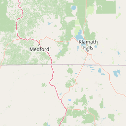
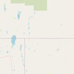
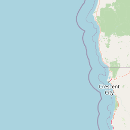
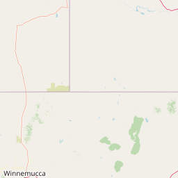

Leaflet | <a href="https://www.openstreetmap.org/copyright">© OpenStreetMap contributors</a>
Item
| Property | Value |
|---|---|
| id | 1955653 |
| downstream_mainstem_id | |
| encompassing_mainstem_basins | |
| featuretype | ['https://www.opengis.net/def/schema/hy_features/hyf/HY_FlowPath', 'https://www.opengis.net/def/schema/hy_features/hyf/HY_WaterBody'] |
| fid | 28161 |
| head_2020huc12 | 160402040601 |
| head_nhdpv1_comid | 9989305 |
| head_nhdpv2_comid | https://geoconnex.us/nhdplusv2/comid/9989305 |
| head_nhdpv2huc12 | https://geoconnex.us/nhdplusv2/huc12/160402040601 |
| head_rf1id | 45146 |
| lengthkm | 43.6 |
| name_at_outlet | Wall Creek |
| name_at_outlet_gnis_id | 844623 |
| new_mainstemid | |
| outlet_2020huc12 | 160402040606 |
| outlet_drainagearea_sqkm | 492.1 |
| outlet_nhdpv1_comid | 25227986 |
| outlet_nhdpv2_comid | https://geoconnex.us/nhdplusv2/comid/25227986 |
| outlet_nhdpv2huc12 | https://geoconnex.us/nhdplusv2/huc12/160402040606 |
| outlet_rf1id | 45145 |
| superseded | False |
| uri | https://geoconnex.us/ref/mainstems/1955653 |