Catatonk Creek
Map


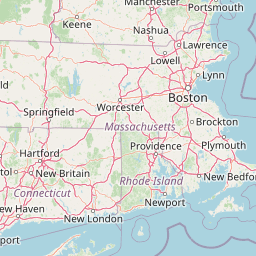


Leaflet | <a href="https://www.openstreetmap.org/copyright">© OpenStreetMap contributors</a>
Item
| Property | Value |
|---|---|
| id | 196626 |
| downstream_mainstem_id | https://geoconnex.us/ref/mainstems/195840 |
| encompassing_mainstem_basins | ['https://geoconnex.us/ref/mainstems/195840', 'https://geoconnex.us/ref/mainstems/194408'] |
| featuretype | ['https://www.opengis.net/def/schema/hy_features/hyf/HY_FlowPath', 'https://www.opengis.net/def/schema/hy_features/hyf/HY_WaterBody'] |
| fid | 1455 |
| head_2020huc12 | 020501030301 |
| head_nhdpv1_comid | 8103093 |
| head_nhdpv2_comid | https://geoconnex.us/nhdplusv2/comid/8103093 |
| head_nhdpv2huc12 | https://geoconnex.us/nhdplusv2/huc12/020501030301 |
| head_rf1id | 3131 |
| lengthkm | 46.0 |
| name_at_outlet | Catatonk Creek |
| name_at_outlet_gnis_id | 969971 |
| new_mainstemid | |
| outlet_2020huc12 | 020501030305 |
| outlet_drainagearea_sqkm | 390.6 |
| outlet_nhdpv1_comid | 8102069 |
| outlet_nhdpv2_comid | https://geoconnex.us/nhdplusv2/comid/8102069 |
| outlet_nhdpv2huc12 | https://geoconnex.us/nhdplusv2/huc12/020501030305 |
| outlet_rf1id | 3126 |
| superseded | False |
| uri | https://geoconnex.us/ref/mainstems/196626 |