Middle Creek
Map


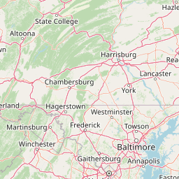
Leaflet | <a href="https://www.openstreetmap.org/copyright">© OpenStreetMap contributors</a>
Item
| Property | Value |
|---|---|
| id | 2061607 |
| downstream_mainstem_id | https://geoconnex.us/ref/mainstems/2061305 |
| encompassing_mainstem_basins | ['https://geoconnex.us/ref/mainstems/2061305', 'https://geoconnex.us/ref/mainstems/2060967', 'https://geoconnex.us/ref/mainstems/2060814'] |
| featuretype | ['https://www.opengis.net/def/schema/hy_features/hyf/HY_FlowPath', 'https://www.opengis.net/def/schema/hy_features/hyf/HY_WaterBody'] |
| fid | 7128 |
| head_2020huc12 | 041000070802 |
| head_nhdpv1_comid | 15652499 |
| head_nhdpv2_comid | https://geoconnex.us/nhdplusv2/comid/15652499 |
| head_nhdpv2huc12 | https://geoconnex.us/nhdplusv2/huc12/041000070802 |
| head_rf1id | 11261 |
| lengthkm | 55.2 |
| name_at_outlet | Middle Creek |
| name_at_outlet_gnis_id | 1066095 |
| new_mainstemid | |
| outlet_2020huc12 | 041000070805 |
| outlet_drainagearea_sqkm | 265.9 |
| outlet_nhdpv1_comid | 15649803 |
| outlet_nhdpv2_comid | https://geoconnex.us/nhdplusv2/comid/15649803 |
| outlet_nhdpv2huc12 | https://geoconnex.us/nhdplusv2/huc12/041000070805 |
| outlet_rf1id | 11261 |
| superseded | False |
| uri | https://geoconnex.us/ref/mainstems/2061607 |