Brandywine Creek
Map
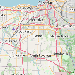
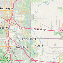
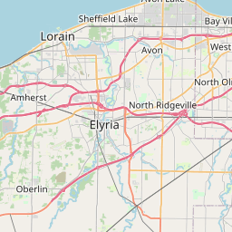
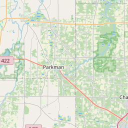
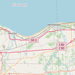
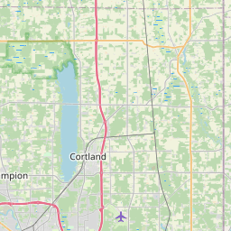
Leaflet | <a href="https://www.openstreetmap.org/copyright">© OpenStreetMap contributors</a>
Item
| Property | Value |
|---|---|
| id | 2073013 |
| downstream_mainstem_id | https://geoconnex.us/ref/mainstems/2072846 |
| encompassing_mainstem_basins | ['https://geoconnex.us/ref/mainstems/2072846'] |
| featuretype | ['https://www.opengis.net/def/schema/hy_features/hyf/HY_FlowPath', 'https://www.opengis.net/def/schema/hy_features/hyf/HY_WaterBody'] |
| fid | 7232 |
| head_2020huc12 | 041100020404 |
| head_nhdpv1_comid | 15587634 |
| head_nhdpv2_comid | https://geoconnex.us/nhdplusv2/comid/15587634 |
| head_nhdpv2huc12 | https://geoconnex.us/nhdplusv2/huc12/041100020404 |
| head_rf1id | None |
| lengthkm | 16.1 |
| name_at_outlet | Brandywine Creek |
| name_at_outlet_gnis_id | 1066599 |
| new_mainstemid | |
| outlet_2020huc12 | 041100020404 |
| outlet_drainagearea_sqkm | 70.0 |
| outlet_nhdpv1_comid | 15587544 |
| outlet_nhdpv2_comid | https://geoconnex.us/nhdplusv2/comid/15587544 |
| outlet_nhdpv2huc12 | https://geoconnex.us/nhdplusv2/huc12/041100020404 |
| outlet_rf1id | None |
| superseded | False |
| uri | https://geoconnex.us/ref/mainstems/2073013 |
Graph Results
| monitoringLocation | https://sta.geoconnex.dev/collections/USGS/Things/items/'USGS-04206416' |
|---|---|
| siteName | USGS-04206416 |
| datasetDescription | Gage height / USGS-04206416-5031459637a24e8ea77029401657346a |
| type | Stream |
| url | https://waterdata.usgs.gov/monitoring-location/04206416/#parameterCode=00065 |
| variableMeasured | Gage height / USGS-04206416-5031459637a24e8ea77029401657346a |
| variableUnit | ft |
| measurementTechnique | observation |
| temporalCoverage | 2024-08-30T09:05:00Z/2024-09-09T18:45:00Z |
| distributionName | USGS SensorThings API |
| distributionURL | https://labs.waterdata.usgs.gov/sta/v1.1/Datastreams('5031459637a24e8ea77029401657346a')?$expand=Thing,Observations |
| distributionFormat | application/json |
| wkt | POINT (-81.5208333333333 41.2941666666667) |
| monitoringLocation | https://sta.geoconnex.dev/collections/USGS/Things/items/'USGS-04206416' |
|---|---|
| siteName | USGS-04206416 |
| datasetDescription | Gage height / USGS-04206416-5031459637a24e8ea77029401657346a |
| type | Stream |
| url | https://waterdata.usgs.gov/monitoring-location/04206416/#parameterCode=00065 |
| variableMeasured | Gage height / USGS-04206416-5031459637a24e8ea77029401657346a |
| variableUnit | ft |
| measurementTechnique | observation |
| temporalCoverage | 2024-08-30T09:05:00Z/2024-09-09T18:45:00Z |
| distributionName | USGS Instantaneous Values Service |
| distributionURL | https://waterservices.usgs.gov/nwis/iv/?sites=USGS:04206416¶meterCd=00065&format=rdb |
| distributionFormat | text/tab-separated-values |
| wkt | POINT (-81.5208333333333 41.2941666666667) |
| monitoringLocation | https://sta.geoconnex.dev/collections/USGS/Things/items/'USGS-04206416' |
|---|---|
| siteName | USGS-04206416 |
| datasetDescription | Discharge / USGS-04206416-ffed3bba450b4762be0960e0e5cd58eb |
| type | Stream |
| url | https://waterdata.usgs.gov/monitoring-location/04206416/#parameterCode=00060 |
| variableMeasured | Discharge / USGS-04206416-ffed3bba450b4762be0960e0e5cd58eb |
| variableUnit | ft^3/s |
| measurementTechnique | observation |
| temporalCoverage | 2024-08-30T09:05:00Z/2024-09-09T18:45:00Z |
| distributionName | USGS Instantaneous Values Service |
| distributionURL | https://waterservices.usgs.gov/nwis/iv/?sites=USGS:04206416¶meterCd=00060&format=rdb |
| distributionFormat | text/tab-separated-values |
| wkt | POINT (-81.5208333333333 41.2941666666667) |
| monitoringLocation | https://sta.geoconnex.dev/collections/USGS/Things/items/'USGS-04206416' |
|---|---|
| siteName | USGS-04206416 |
| datasetDescription | Discharge / USGS-04206416-ffed3bba450b4762be0960e0e5cd58eb |
| type | Stream |
| url | https://waterdata.usgs.gov/monitoring-location/04206416/#parameterCode=00060 |
| variableMeasured | Discharge / USGS-04206416-ffed3bba450b4762be0960e0e5cd58eb |
| variableUnit | ft^3/s |
| measurementTechnique | observation |
| temporalCoverage | 2024-08-30T09:05:00Z/2024-09-09T18:45:00Z |
| distributionName | USGS SensorThings API |
| distributionURL | https://labs.waterdata.usgs.gov/sta/v1.1/Datastreams('ffed3bba450b4762be0960e0e5cd58eb')?$expand=Thing,Observations |
| distributionFormat | application/json |
| wkt | POINT (-81.5208333333333 41.2941666666667) |