Indian Creek
Map

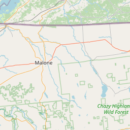
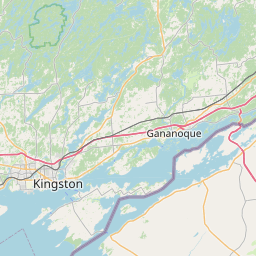
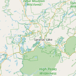

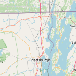
Leaflet | <a href="https://www.openstreetmap.org/copyright">© OpenStreetMap contributors</a>
Item
| Property | Value |
|---|---|
| id | 2095216 |
| downstream_mainstem_id | https://geoconnex.us/ref/mainstems/2094493 |
| encompassing_mainstem_basins | ['https://geoconnex.us/ref/mainstems/2094493'] |
| featuretype | ['https://www.opengis.net/def/schema/hy_features/hyf/HY_FlowPath', 'https://www.opengis.net/def/schema/hy_features/hyf/HY_WaterBody'] |
| fid | 7478 |
| head_2020huc12 | 041503020902 |
| head_nhdpv1_comid | 15488928 |
| head_nhdpv2_comid | https://geoconnex.us/nhdplusv2/comid/15488928 |
| head_nhdpv2huc12 | https://geoconnex.us/nhdplusv2/huc12/041503020902 |
| head_rf1id | None |
| lengthkm | 16.2 |
| name_at_outlet | Indian Creek |
| name_at_outlet_gnis_id | 976467 |
| new_mainstemid | |
| outlet_2020huc12 | 041503020902 |
| outlet_drainagearea_sqkm | 101.2 |
| outlet_nhdpv1_comid | 15489156 |
| outlet_nhdpv2_comid | https://geoconnex.us/nhdplusv2/comid/15489156 |
| outlet_nhdpv2huc12 | https://geoconnex.us/nhdplusv2/huc12/041503020902 |
| outlet_rf1id | None |
| superseded | False |
| uri | https://geoconnex.us/ref/mainstems/2095216 |