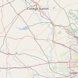
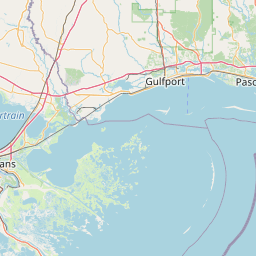
Latania Bayou
Map
Leaflet | <a href="https://www.openstreetmap.org/copyright">© OpenStreetMap contributors</a>
Item
| Property | Value |
|---|---|
| id | 2213298 |
| downstream_mainstem_id | https://geoconnex.us/ref/mainstems/2213200 |
| encompassing_mainstem_basins | ['https://geoconnex.us/ref/mainstems/2213200'] |
| featuretype | ['https://www.opengis.net/def/schema/hy_features/hyf/HY_FlowPath', 'https://www.opengis.net/def/schema/hy_features/hyf/HY_WaterBody'] |
| fid | 13950 |
| head_2020huc12 | 080802020401 |
| head_nhdpv1_comid | 15110025 |
| head_nhdpv2_comid | https://geoconnex.us/nhdplusv2/comid/15110025 |
| head_nhdpv2huc12 | https://geoconnex.us/nhdplusv2/huc12/080802020401 |
| head_rf1id | 21992 |
| lengthkm | 25.5 |
| name_at_outlet | Latania Bayou |
| name_at_outlet_gnis_id | 536344 |
| new_mainstemid | |
| outlet_2020huc12 | 080802021200 |
| outlet_drainagearea_sqkm | 89.6 |
| outlet_nhdpv1_comid | 15109603 |
| outlet_nhdpv2_comid | https://geoconnex.us/nhdplusv2/comid/15109603 |
| outlet_nhdpv2huc12 | https://geoconnex.us/nhdplusv2/huc12/080802021200 |
| outlet_rf1id | 22001 |
| superseded | False |
| uri | https://geoconnex.us/ref/mainstems/2213298 |